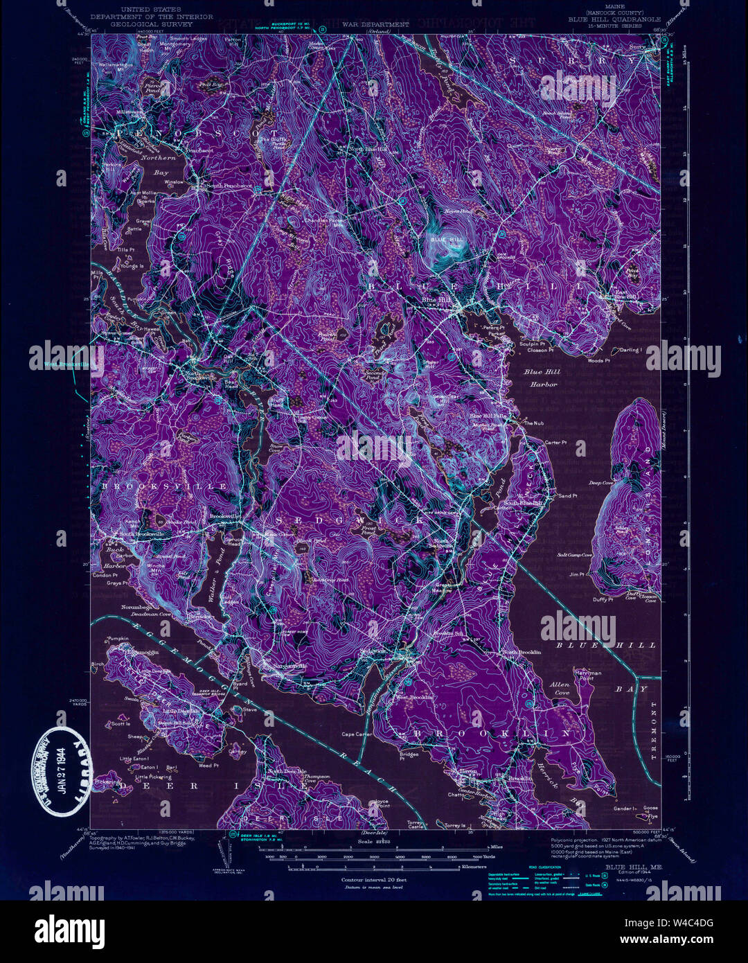
Maine USGS Historical Map Blue Hill 460215 1944 62500 Inversion Restoration
RMID:Image ID:W4C4DG
Image details
Contributor:
Wetdryvac / Alamy Stock PhotoImage ID:
W4C4DGFile size:
83.6 MB (6.6 MB Compressed download)Releases:
Model - no | Property - noDo I need a release?Dimensions:
4928 x 5930 px | 41.7 x 50.2 cm | 16.4 x 19.8 inches | 300dpiDate taken:
25 August 2012More information:
This image could have imperfections as it’s either historical or reportage.