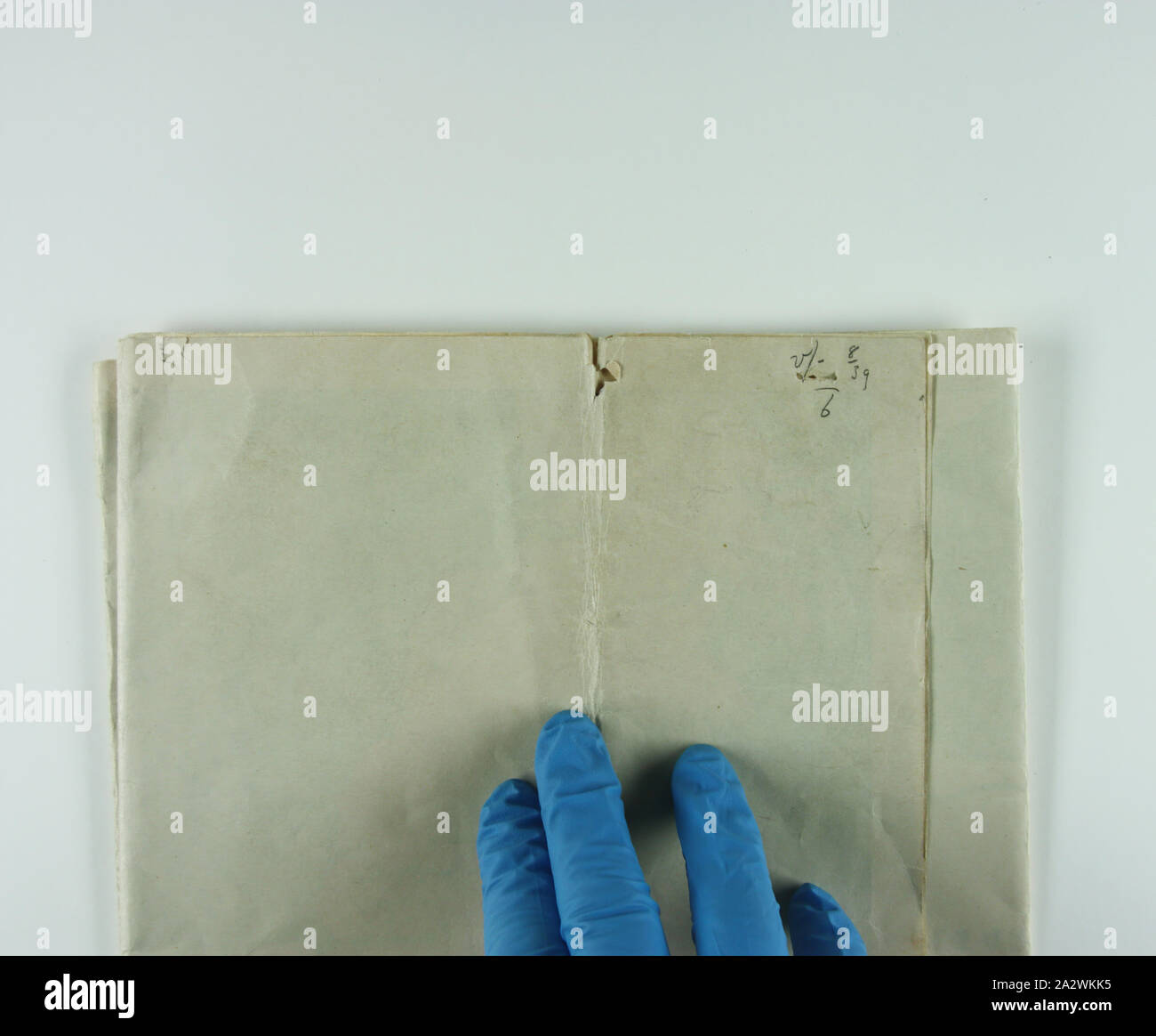
Map - 'European War Zone', World War II, 1939-1945, Map of the European war zone during World War II. In the upper right corner it depicts the sinking of the Athenia, which was sunk on 1 September 1939. Part of a collection of material relating to the World War I service of brothers John and Albert Victor Peile. The donor's connection to World War II is unknown

RMID:Image ID:2A2WKK5
Image details
Contributor:
Penta Springs Limited / Alamy Stock PhotoImage ID:
2A2WKK5File size:
36 MB (1,005.9 KB Compressed download)Releases:
Model - no | Property - noDo I need a release?Dimensions:
3900 x 3223 px | 33 x 27.3 cm | 13 x 10.7 inches | 300dpiPhotographer:
ArtokoloroMore information:
This image could have imperfections as it’s either historical or reportage.
Map - 'European War Zone', World War II, 1939-1945, Map of the European war zone during World War II. In the upper right corner it depicts the sinking of the Athenia, which was sunk on 1 September 1939. Part of a collection of material relating to the World War I service of brothers John and Albert Victor Peile. The donor's connection to World War II is unknown.