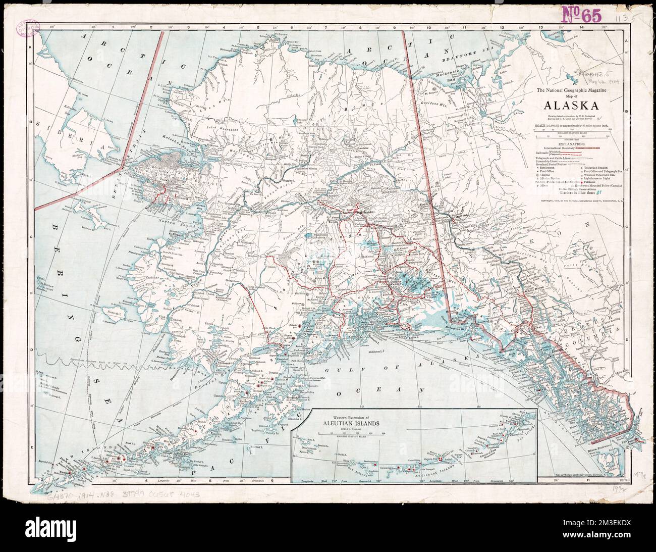
Map of Alaska : showing latest explorations by U.S. Geological Survey and U.S. Coast and Geodetic Survey , Railroads, Alaska, Maps, Volcanoes, Alaska, Maps, Alaska, Maps Norman B. Leventhal Map Center Collection
RMID:Image ID:2M3EKDX
Image details
Contributor:
piemags/DCM / Alamy Stock PhotoImage ID:
2M3EKDXFile size:
76.9 MB (4 MB Compressed download)Releases:
Model - no | Property - noDo I need a release?Dimensions:
5902 x 4557 px | 50 x 38.6 cm | 19.7 x 15.2 inches | 300dpiMore information:
This image is a public domain image, which means either that copyright has expired in the image or the copyright holder has waived their copyright. Alamy charges you a fee for access to the high resolution copy of the image.
This image could have imperfections as it’s either historical or reportage.