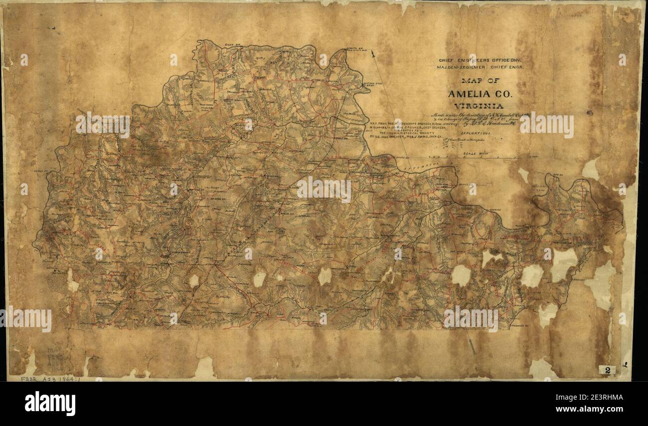
Map of Amelia Co., Virginia - made under the direction of A.H. Campbell, Capt. P.E. & in charge of Topog. Dept. D.N.V.
RMID:Image ID:2E3RHMA
Image details
Contributor:
Jimlop collection / Alamy Stock PhotoImage ID:
2E3RHMAFile size:
5.7 MB (414 KB Compressed download)Releases:
Model - no | Property - noDo I need a release?Dimensions:
1841 x 1086 px | 31.2 x 18.4 cm | 12.3 x 7.2 inches | 150dpiMore information:
This image could have imperfections as it’s either historical or reportage.