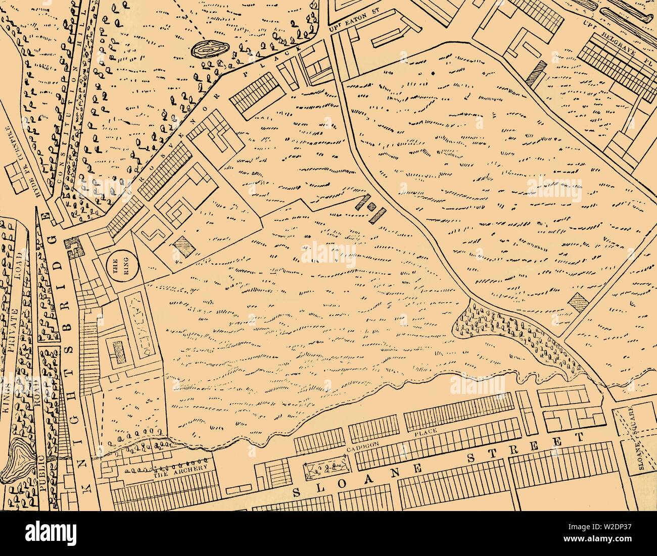
'Map of Belgravia, 1814', (c1876). Creator: Unknown.
RMID:Image ID:W2DP37
Image details
Contributor:
The Print Collector / Alamy Stock PhotoImage ID:
W2DP37File size:
63 MB (2.4 MB Compressed download)Releases:
Model - no | Property - noDo I need a release?Dimensions:
5320 x 4140 px | 45 x 35.1 cm | 17.7 x 13.8 inches | 300dpiDate taken:
1814Location:
London,World,Europe,United Kingdom,England,Greater London,London,City of Westminster,WestminsterPhotographer:
The Print Collector/Heritage ImagesMore information:
This image could have imperfections as it’s either historical or reportage.
'Map of Belgravia, 1814', (c1876). Developed in the early 19th century by Richard Grosvenor, 2nd Marquess of Westminster under the direction of Thomas Cubitt, Belgravia is one of the wealthiest districts in the world. From "Old and New London: A Narrative of Its History, Its People, and Its Places. The Western and Northern Studies", by Edward Walford. [Cassell, Petter, Galpin & Co., London, Paris & New York]