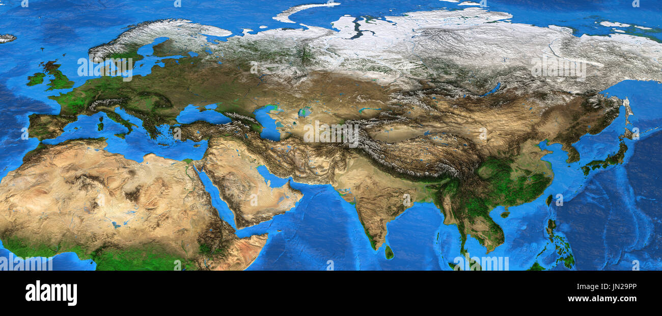
Map of Eurasia. Detailed satellite view of the Earth and its landforms, focused on Europe and Asia. Elements of this image furnished by NASA

RFID:Image ID:JN29PP
Image details
Contributor:
titoOnz / Alamy Stock PhotoImage ID:
JN29PPFile size:
168.2 MB (14.6 MB Compressed download)Releases:
Model - no | Property - noDo I need a release?Dimensions:
12000 x 4900 px | 101.6 x 41.5 cm | 40 x 16.3 inches | 300dpiDate taken:
28 July 2017