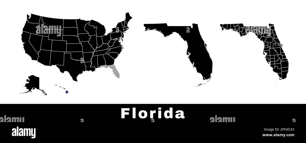
Map of Florida state, USA. Set of Florida maps with outline border, counties and US states map. Black and white color vector illustration.
RFID:Image ID:2PHXCX3
Image details
Contributor:
Kostiantyn Levin / Alamy Stock VectorImage ID:
2PHXCX3Releases:
Model - no | Property - noDo I need a release?Date created:
29 March 2023