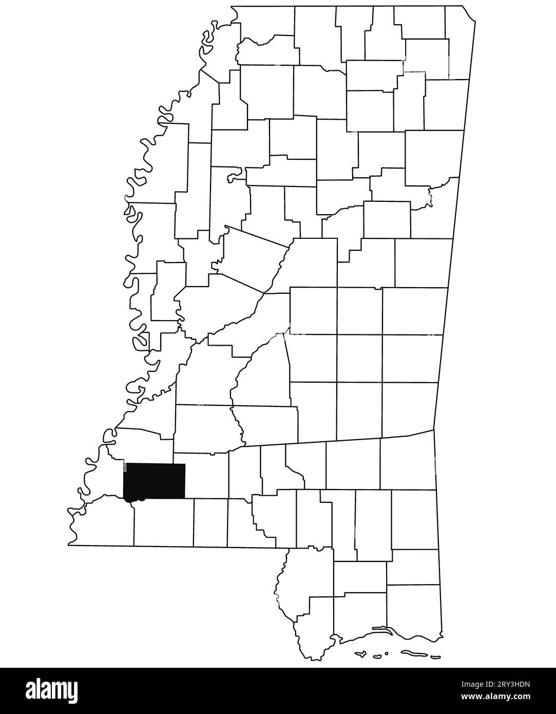
Map of Franklin County in Mississippi state on white background. single County map highlighted by black colour on Mississippi map. United States of Am
RFID:Image ID:2RY3HDN
Image details
Contributor:
md shoeb ansari / Alamy Stock PhotoImage ID:
2RY3HDNFile size:
155.7 MB (930.8 KB Compressed download)Releases:
Model - no | Property - noDo I need a release?Dimensions:
6734 x 8080 px | 57 x 68.4 cm | 22.4 x 26.9 inches | 300dpiDate taken:
10 February 2023Location:
MississippiMore information:
Map of Franklin County in Mississippi state on white background. single County map highlighted by black colour on Mississippi map. United States of America, US