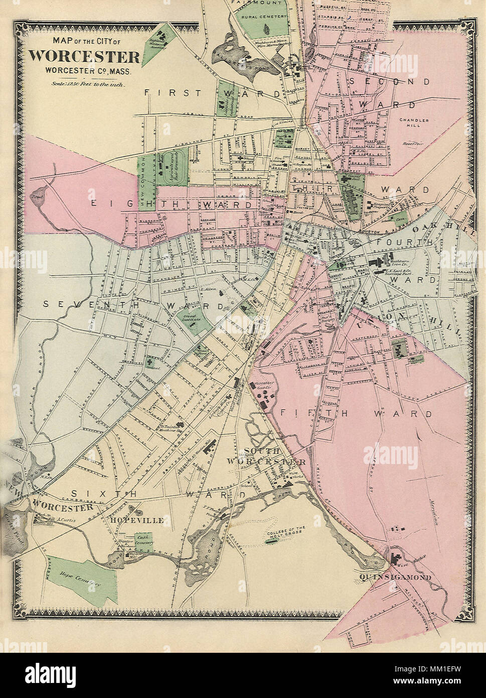
Map of Greater Worcester. 1870
RMID:Image ID:MM1EFW
Image details
Contributor:
Pictures Now / Alamy Stock PhotoImage ID:
MM1EFWFile size:
8.9 MB (902.5 KB Compressed download)Releases:
Model - no | Property - noDo I need a release?Dimensions:
1527 x 2048 px | 25.9 x 34.7 cm | 10.2 x 13.7 inches | 150dpiDate taken:
1870Photographer:
Pictures NowMore information:
This image could have imperfections as it’s either historical or reportage.