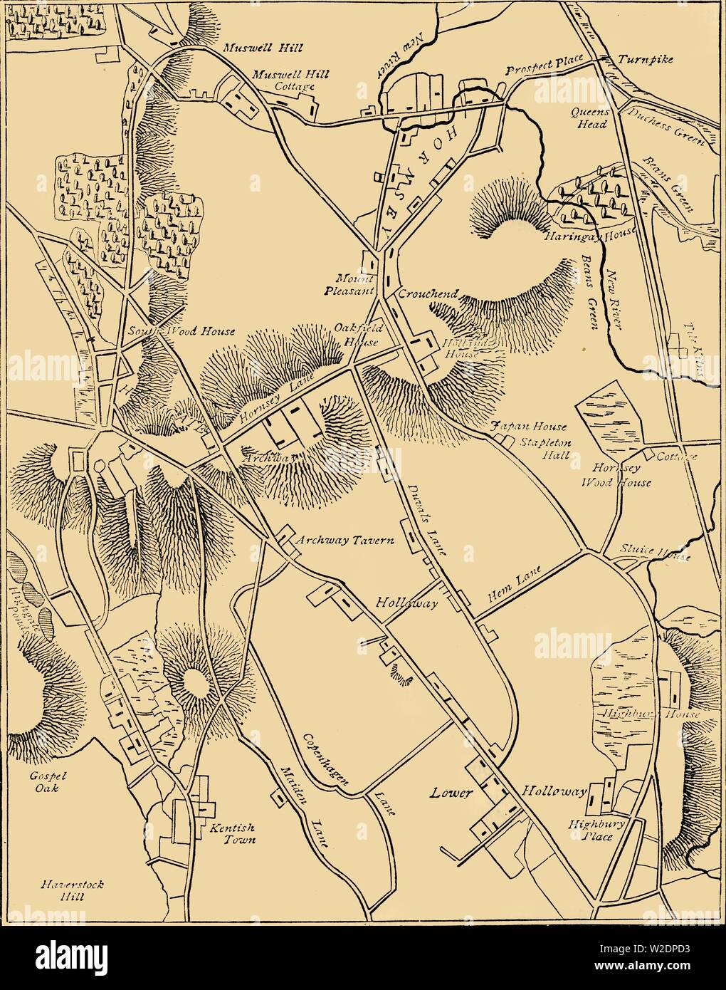
'Map of Hornsey and Neighbourhood in 1819', (c1876). Creator: Unknown.

RMID:Image ID:W2DPD3
Image details
Contributor:
The Print Collector / Alamy Stock PhotoImage ID:
W2DPD3File size:
69.1 MB (2.9 MB Compressed download)Releases:
Model - no | Property - noDo I need a release?Dimensions:
4354 x 5544 px | 36.9 x 46.9 cm | 14.5 x 18.5 inches | 300dpiDate taken:
1819Location:
England,Greater London,London,World,Europe,United Kingdom,England,Greater London,Haringey,HornseyPhotographer:
The Print Collector/Heritage ImagesMore information:
This image could have imperfections as it’s either historical or reportage.
'Map of Hornsey and Neighbourhood in 1819', (c1876). . The village grew dramatically after c1860. From "Old and New London: A Narrative of Its History, Its People, and Its Places. The Western and Northern Studies", by Edward Walford. [Cassell, Petter, Galpin & Co., London, Paris & New York]