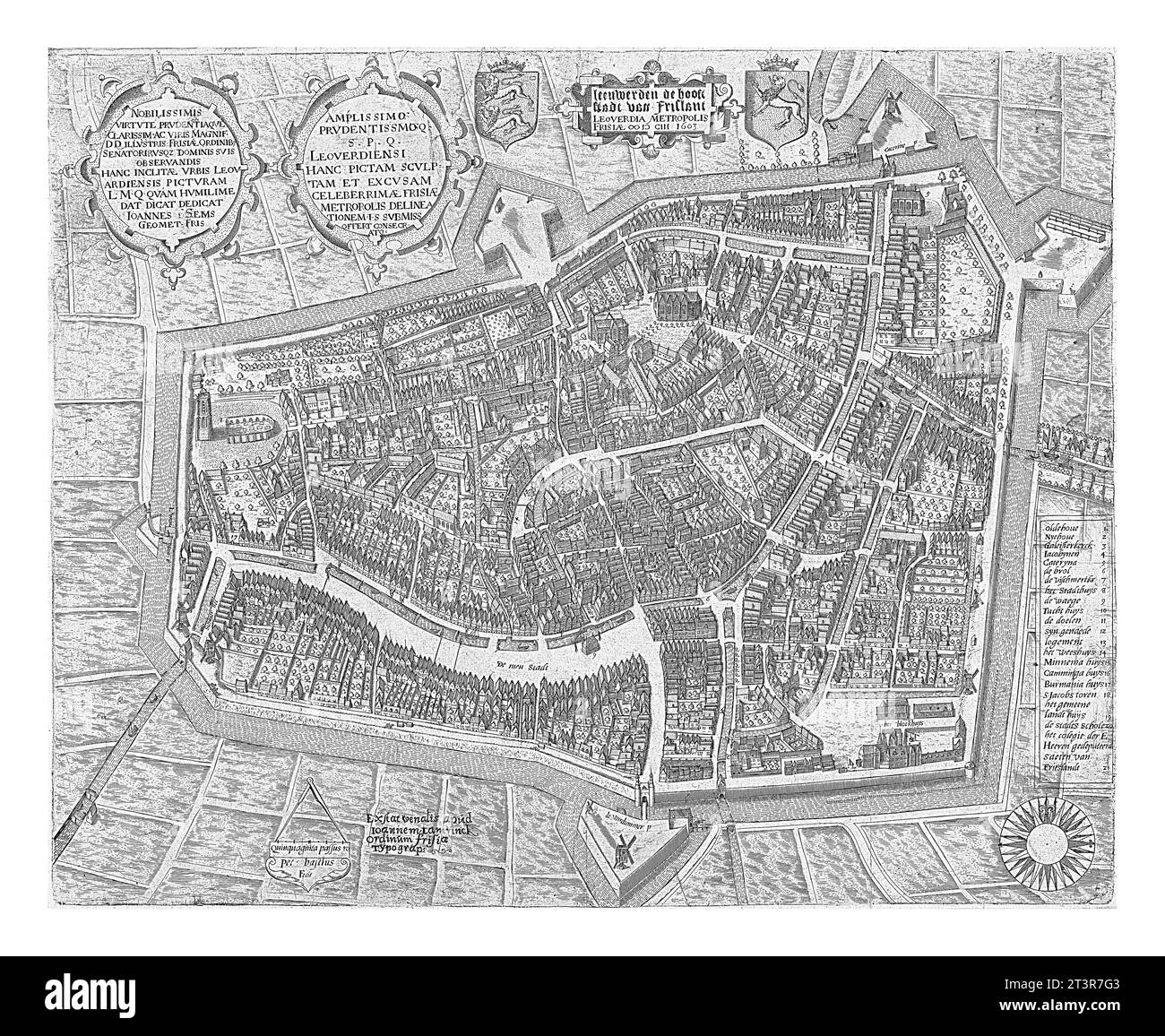
Map of Leeuwarden, 1603, Pieter Bast, 1603 Leeuwarden seen from a bird's-eye view. Above the map three cartouches with text and two coats of arms, one
RFID:Image ID:2T3R7G3
Image details
Contributor:
Patrick Guenette / Alamy Stock PhotoImage ID:
2T3R7G3File size:
58.7 MB (7.6 MB Compressed download)Releases:
Model - no | Property - noDo I need a release?Dimensions:
5000 x 4103 px | 42.3 x 34.7 cm | 16.7 x 13.7 inches | 300dpiDate taken:
12 August 2022More information:
Map of Leeuwarden, 1603, Pieter Bast, 1603 Leeuwarden seen from a bird's-eye view. Above the map three cartouches with text and two coats of arms, one of Friesland and one of Leeuwarden.