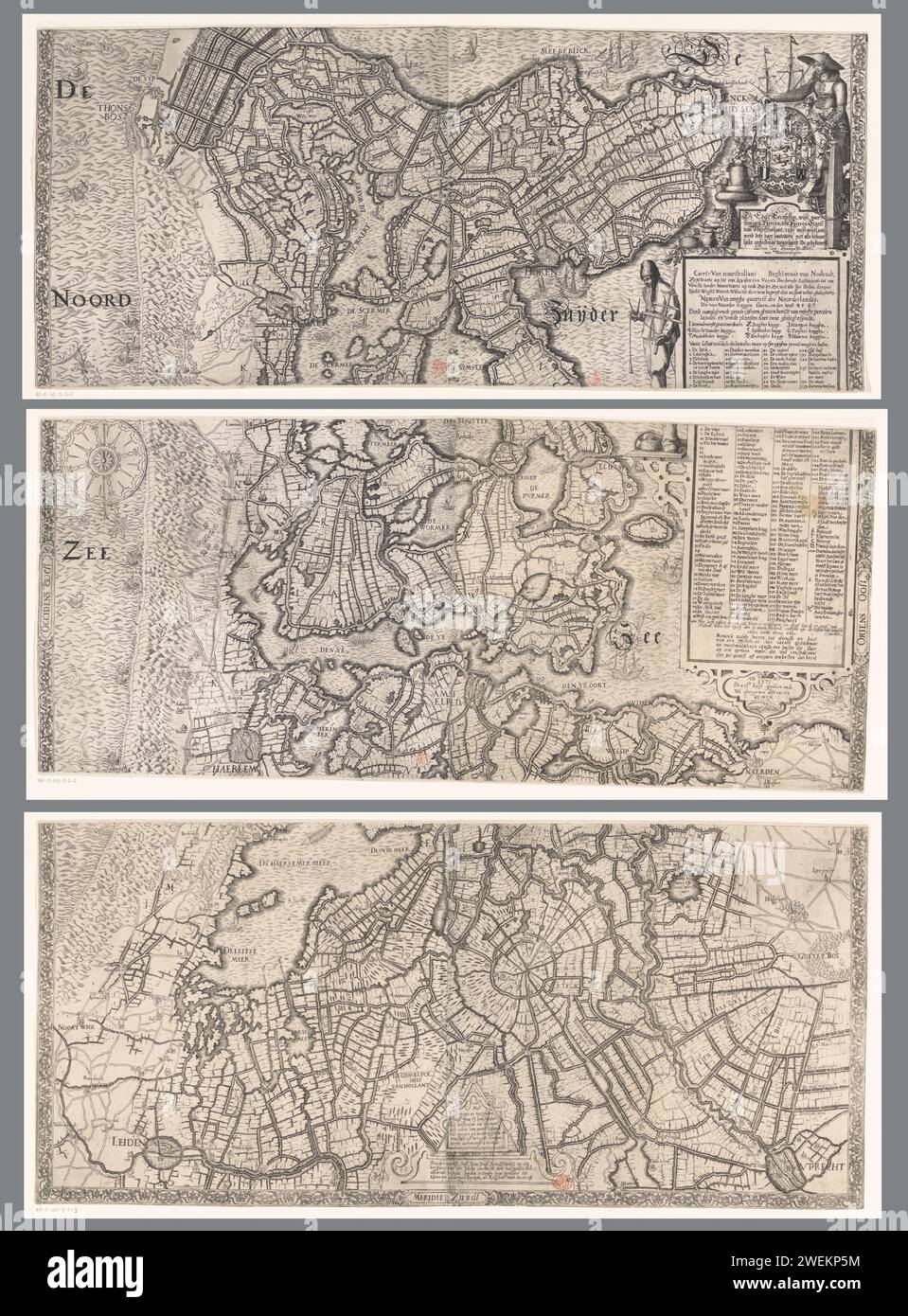
Map of Noord-Holland, consisting of three parts, Joost Jansz. Bilhamer (attributed to), 1608 print On the right a cartouche with the title and the legend in Dutch. To the left of this a standing fisherman with a passer and shooting shelter. Above the cartouche the assignment and a standing farmer's wife at the provincial views, with a ship model, cheeses, vegetables and products from the country. At the bottom in the middle a cartouche with the patent granting of the first state of the map. The passer on this also serves as a scale: the passer spans a mijle. paper etching / engraving maps of

Image details
Contributor:
piemags/rmn / Alamy Stock PhotoImage ID:
2WEKP5MFile size:
48.8 MB (4 MB Compressed download)Releases:
Model - no | Property - noDo I need a release?Dimensions:
3550 x 4808 px | 30.1 x 40.7 cm | 11.8 x 16 inches | 300dpiMore information:
This image is a public domain image, which means either that copyright has expired in the image or the copyright holder has waived their copyright. Alamy charges you a fee for access to the high resolution copy of the image.
This image could have imperfections as it’s either historical or reportage.
Map of Noord-Holland, consisting of three parts, Joost Jansz. Bilhamer (attributed to), 1608 print On the right a cartouche with the title and the legend in Dutch. To the left of this a standing fisherman with a passer and shooting shelter. Above the cartouche the assignment and a standing farmer's wife at the provincial views, with a ship model, cheeses, vegetables and products from the country. At the bottom in the middle a cartouche with the patent granting of the first state of the map. The passer on this also serves as a scale: the passer spans a mijle. paper etching / engraving maps of separate countries or regions. coat of arms (as symbol of the state, etc.). coat of arms (as symbol of the state, etc.) (+ city; municipal) North Holland