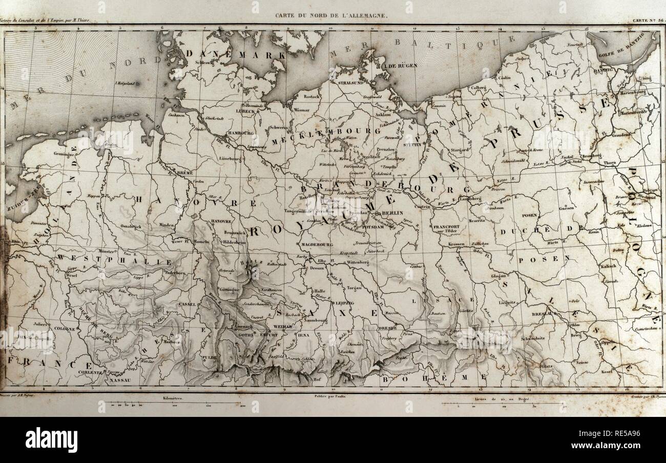
Map of north Germany. Atlas de l'Histoire du Consulat et de l'Empire. History of the Consulate and the Empire of France under Napoleon by Marie Joseph Louis Adolphe Thiers (1797-1877). Drawings by Dufour, engravings by Dyonnet. Edited in Paris, 1864.

RMID:Image ID:RE5A96
Image details
Contributor:
Album / Alamy Stock PhotoImage ID:
RE5A96File size:
46.2 MB (2.5 MB Compressed download)Releases:
Model - no | Property - noDo I need a release?Dimensions:
5079 x 3182 px | 43 x 26.9 cm | 16.9 x 10.6 inches | 300dpiPhotographer:
AlbumMore information:
This image could have imperfections as it’s either historical or reportage.