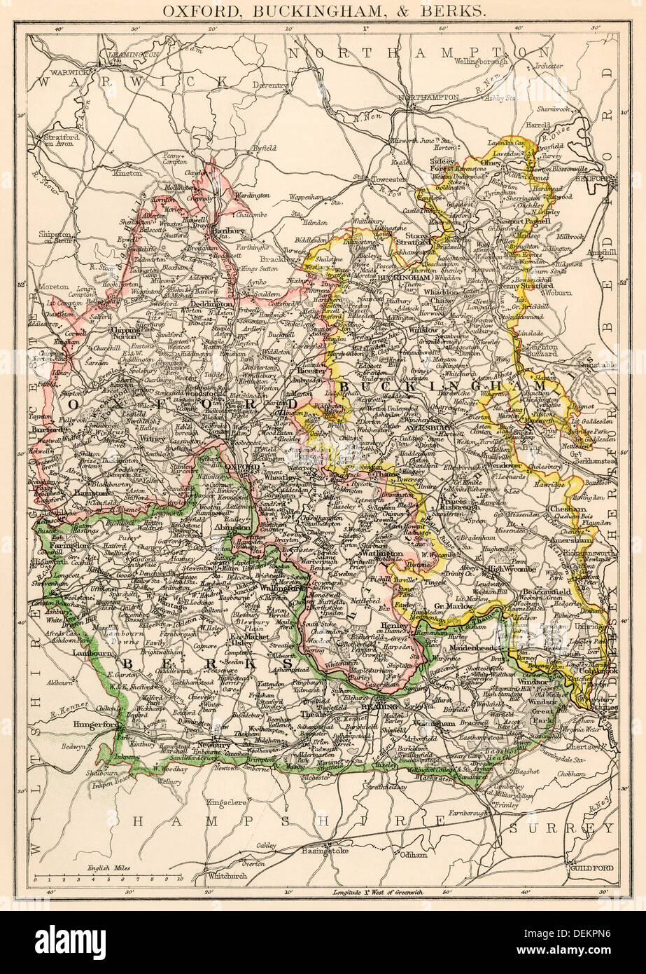
Map of Oxfordshire, Buckinghamshire, and Berkshire, England, 1870s. Color lithograph
RMID:Image ID:DEKPN6
Image details
Contributor:
North Wind Picture Archives / Alamy Stock PhotoImage ID:
DEKPN6File size:
51.5 MB (5 MB Compressed download)Releases:
Model - no | Property - noDo I need a release?Dimensions:
3575 x 5034 px | 30.3 x 42.6 cm | 11.9 x 16.8 inches | 300dpiPhotographer:
North Wind Picture ArchivesMore information:
This image could have imperfections as it’s either historical or reportage.
Printed color lithograph of a 19th century illustration