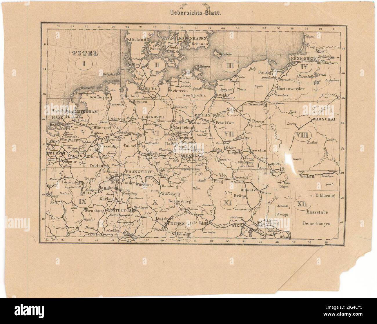
Map of Prenssian state with special consideration of the communications: edited according to official sources and published on order Sr. Exc. Of the Minister for Trade, Trade and Offentl Working: 12 sheets in the Maafsstabe of 1: 600000. It includes Germany and part of Poland graphic scales in miles, meters and miriameters. Referred coordinates, apparently, the iron meridian (E 20 ° 45'-e 41 ° 30 '/n 56 ° 00'-n 47 ° 45'). 5th geographical network in 5th Relief represented by Shaded Indicates Batimetric Probes Conventional Signs Table to indicate population centers of different category, commun

Image details
Contributor:
EU/BT / Alamy Stock PhotoImage ID:
2JG4CY5File size:
7.1 MB (514 KB Compressed download)Releases:
Model - no | Property - noDo I need a release?Dimensions:
1777 x 1406 px | 30.1 x 23.8 cm | 11.8 x 9.4 inches | 150dpiMore information:
This image is a public domain image, which means either that copyright has expired in the image or the copyright holder has waived their copyright. Alamy charges you a fee for access to the high resolution copy of the image.
This image could have imperfections as it’s either historical or reportage.
Map of Prenssian state with special consideration of the communications: edited according to official sources and published on order Sr. Exc. Of the Minister for Trade, Trade and Offentl Working: 12 sheets in the Maafsstabe of 1: 600000. It includes Germany and part of Poland graphic scales in miles, meters and miriameters. Referred coordinates, apparently, the iron meridian (E 20 ° 45'-e 41 ° 30 '/n 56 ° 00'-n 47 ° 45'). 5th geographical network in 5th Relief represented by Shaded Indicates Batimetric Probes Conventional Signs Table to indicate population centers of different category, communication routes, geographical accidents and main mail posts of different category related to the main communications roads state dry seal of the "Dietrich Rimber de Berlim" Orlado map with vegetable motifs accompanied by index map