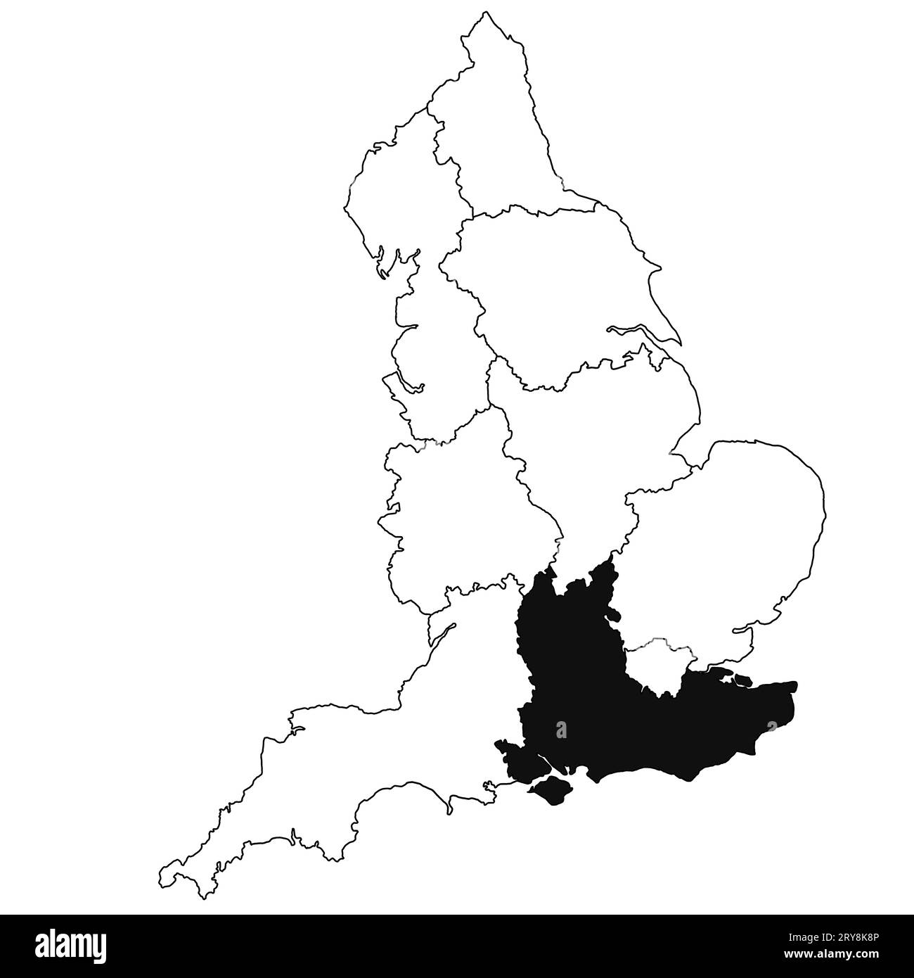
Map of South East England Province in England on white background. single region map highlighted by black colour on England administrative map.
RFID:Image ID:2RY8K8P
Image details
Contributor:
md shoeb ansari / Alamy Stock PhotoImage ID:
2RY8K8PFile size:
186.8 MB (894.3 KB Compressed download)Releases:
Model - no | Property - noDo I need a release?Dimensions:
8080 x 8080 px | 68.4 x 68.4 cm | 26.9 x 26.9 inches | 300dpiDate taken:
7 February 2023Location:
England