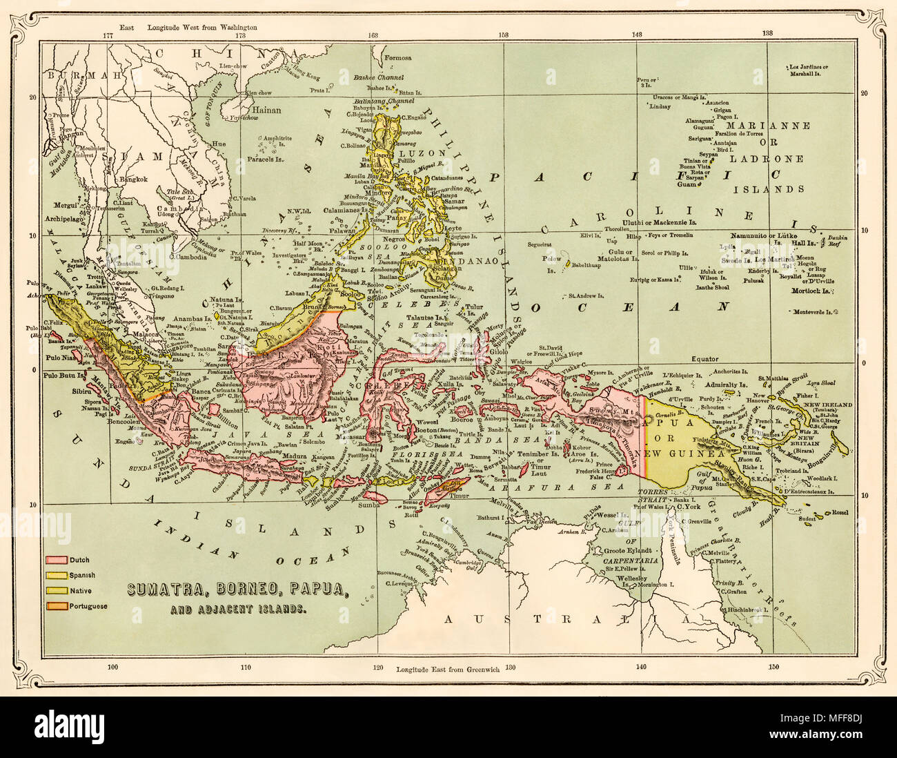
Map of Sumatra, Borneo, New Guinea, and adjacent islands, 1870s. Printed color lithograph
Image details
File size:
52.6 MB (3.6 MB Compressed download)
Open your image file to the full size using image processing software.
Dimensions:
4869 x 3778 px | 41.2 x 32 cm | 16.2 x 12.6 inches | 300dpi
Search stock photos by tags