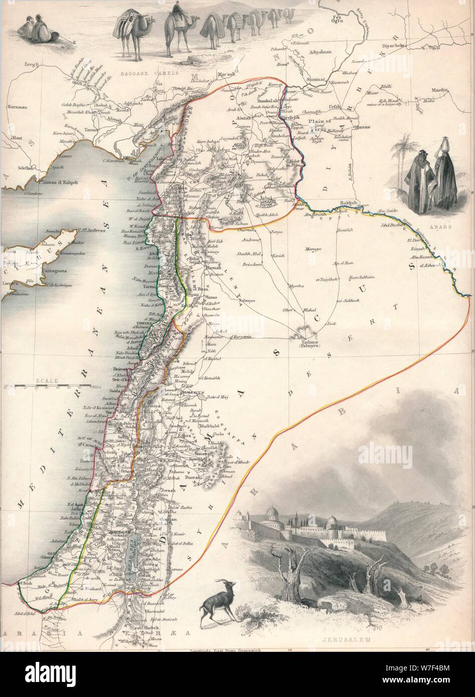
Map of Syria, 1851. Artist: John Tallis.

RMID:Image ID:W7F4BM
Image details
Contributor:
The Print Collector / Alamy Stock PhotoImage ID:
W7F4BMFile size:
45.1 MB (1.9 MB Compressed download)Releases:
Model - no | Property - noDo I need a release?Dimensions:
3393 x 4649 px | 28.7 x 39.4 cm | 11.3 x 15.5 inches | 300dpiDate taken:
1851Location:
World,Asia,SyriaPhotographer:
The Print Collector/Heritage ImagesMore information:
This image could have imperfections as it’s either historical or reportage.
Map of Syria, 1851. From The Illustrated Atlas, And Modern History Of The World Geographical, Political, Commercial & Statistical edited by R. Montgomery Martin, Esq. [J & F. Tallis, London, Edinburgh & Dublin, 1851]