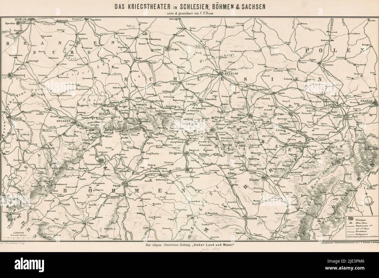
Map of the battlefield in Silesia, Bohemia and Saxony, 1866, Das Kriegstheater in Schlesien, Böhemen & Sachsen (title on object), Map of the battlefield in Silesia, Bohemia and Saxony, during the Austro-Prussian War of 1866., designer: Carl Friedrich Baur, (mentioned on object), after drawing by: Carl Friedrich Baur, (mentioned on object), print maker: Fried. Bohnert, (mentioned on object), designer: Germany, after drawing by: Germany, print maker: Stuttgart, printer: Esslingen, Jul-1866, paper, height 379 mm × width 556 mm
RMID:Image ID:2JE3PM6
Image details
Contributor:
Penta Springs Limited / Alamy Stock PhotoImage ID:
2JE3PM6File size:
92.4 MB (5.8 MB Compressed download)Releases:
Model - no | Property - noDo I need a release?Dimensions:
6964 x 4639 px | 59 x 39.3 cm | 23.2 x 15.5 inches | 300dpiPhotographer:
Penta SpringsMore information:
This image could have imperfections as it’s either historical or reportage.