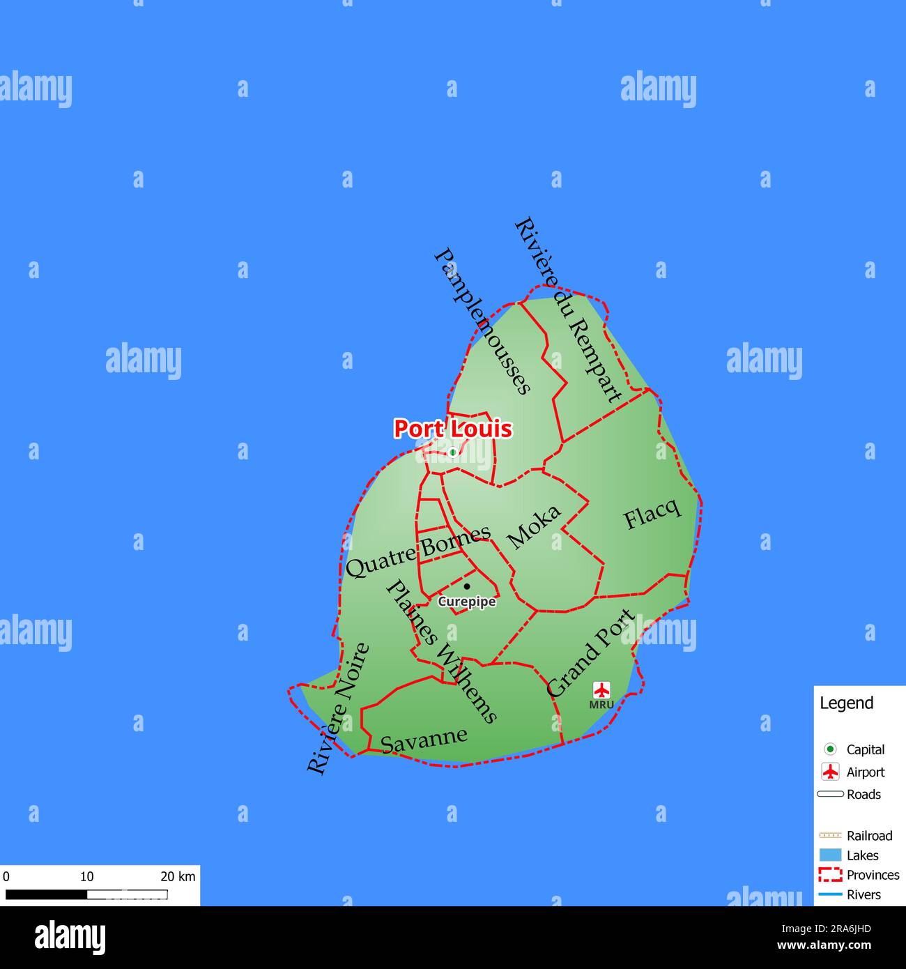
Map of the capital city Port Louis with main streets, rivers, lakes, urban areas and names of counties near
RFID:Image ID:2RA6JHD
Image details
Contributor:
M&M Baciu / Alamy Stock PhotoImage ID:
2RA6JHDFile size:
35.9 MB (323.5 KB Compressed download)Releases:
Model - no | Property - noDo I need a release?Dimensions:
3543 x 3543 px | 30 x 30 cm | 11.8 x 11.8 inches | 300dpiDate taken:
1 July 2023Location:
Port Louis