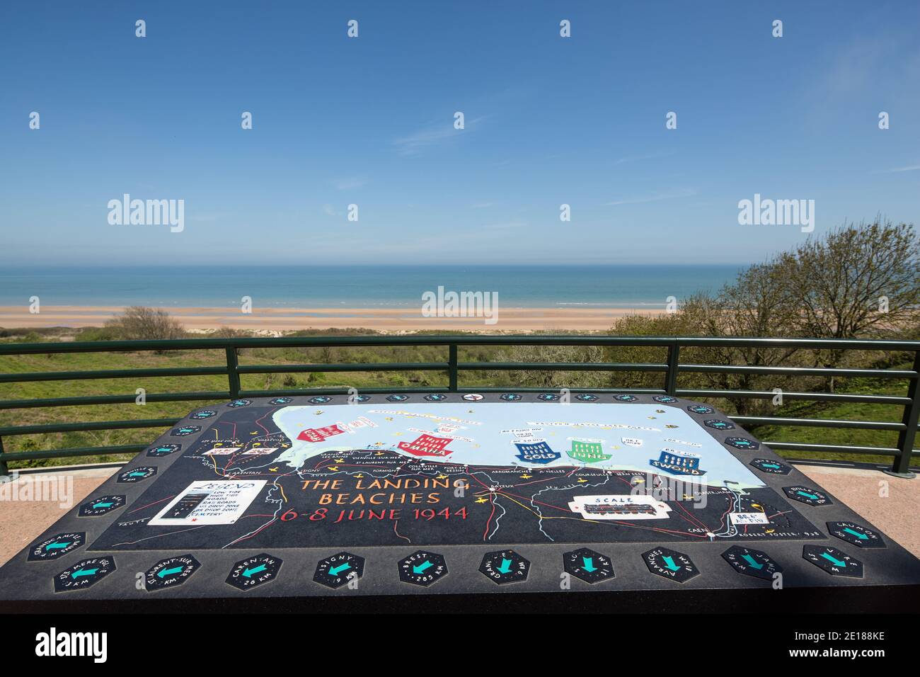
Map of the D-Day landing beaches in Normandy, France

RFID:Image ID:2E188KE
Image details
Contributor:
Michael Evans / Alamy Stock PhotoImage ID:
2E188KEFile size:
63.3 MB (2.1 MB Compressed download)Releases:
Model - no | Property - noDo I need a release?Dimensions:
5760 x 3840 px | 48.8 x 32.5 cm | 19.2 x 12.8 inches | 300dpiDate taken:
6 May 2013