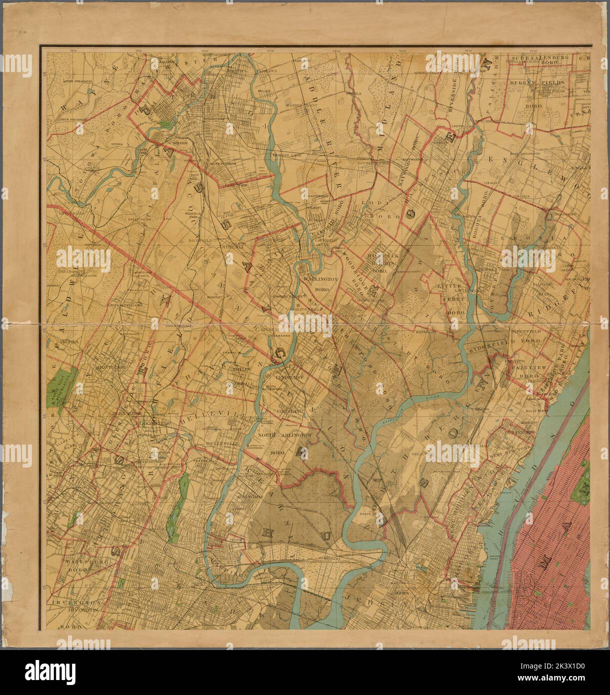
Map of the Metropolitan District including the whole of the City of New York (Boroughs of Manhattan, The Bronx, Queeens, Brooklyn, and Richmond) Cities of Newark, Jersey City, Hoboken, Bayonne, Elizabeth, Hackensack, Passaic, and Paterson. 1899. Cartographic. Maps. Lionel Pincus and Princess Firyal Map Division
RMID:Image ID:2K3X1D0
Image details
Contributor:
Ny/piemags / Alamy Stock PhotoImage ID:
2K3X1D0File size:
160.5 MB (9.8 MB Compressed download)Releases:
Model - no | Property - noDo I need a release?Dimensions:
7261 x 7727 px | 61.5 x 65.4 cm | 24.2 x 25.8 inches | 300dpiMore information:
This image is a public domain image, which means either that copyright has expired in the image or the copyright holder has waived their copyright. Alamy charges you a fee for access to the high resolution copy of the image.
This image could have imperfections as it’s either historical or reportage.