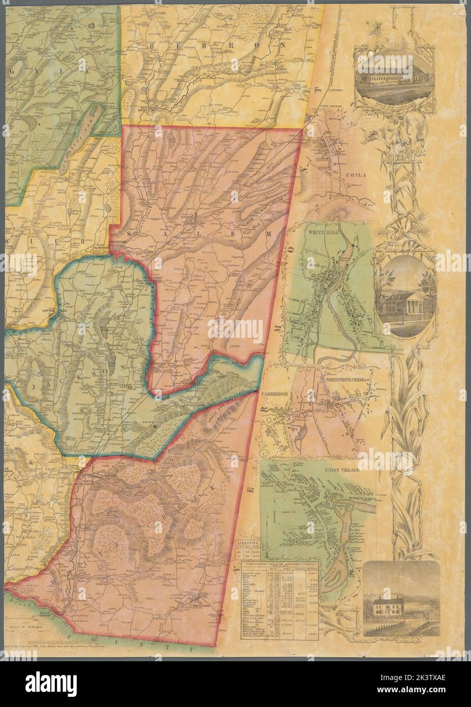
Map of Washington County, New York Cartographic. Maps, Cadastral maps. 1853. Lionel Pincus and Princess Firyal Map Division. Real property , New York (State) , Washington County, Landowners , New York (State) , Washington County, Washington County (N.Y.), Granville (N.Y.), Salem (N.Y.), Fort Edward (N.Y.), Sandy Hill (N.Y.), Cambridge (N.Y.), New York (State) , Washington County
RMID:Image ID:2K3TXAE
Image details
Contributor:
Ny/piemags / Alamy Stock PhotoImage ID:
2K3TXAEFile size:
183.5 MB (10.2 MB Compressed download)Releases:
Model - no | Property - noDo I need a release?Dimensions:
6764 x 9481 px | 57.3 x 80.3 cm | 22.5 x 31.6 inches | 300dpiDate taken:
31 October 2016More information:
This image is a public domain image, which means either that copyright has expired in the image or the copyright holder has waived their copyright. Alamy charges you a fee for access to the high resolution copy of the image.
This image could have imperfections as it’s either historical or reportage.