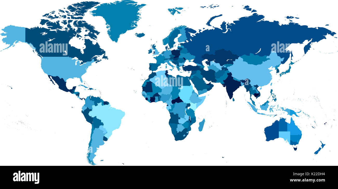
Map that represents the boundaries and in some cases the subdivisions of political units (as countries or states)

RMID:Image ID:K22DH4
Image details
Contributor:
Universal Images Group North America LLC / Alamy Stock PhotoImage ID:
K22DH4File size:
43.5 MB (829.1 KB Compressed download)Releases:
Model - no | Property - noDo I need a release?Dimensions:
5568 x 2728 px | 47.1 x 23.1 cm | 18.6 x 9.1 inches | 300dpiDate taken:
1 April 2010Photographer:
QAI Publishing