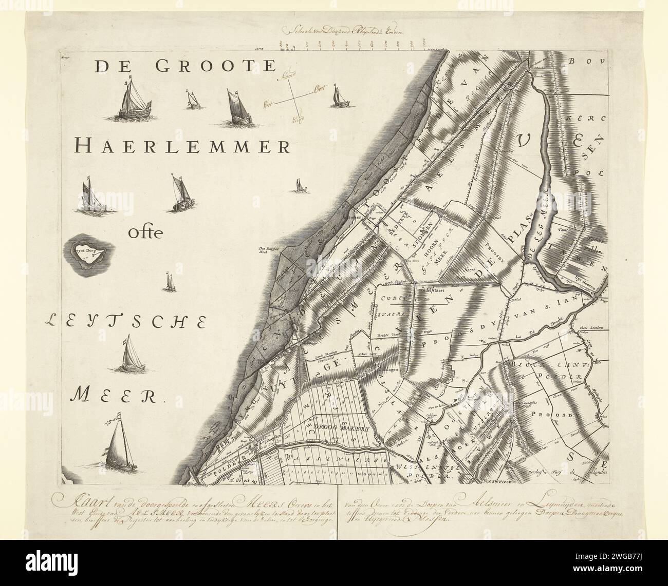
Map with the old banks of the Haarlemmermeer, ca. 1770, 1766 - 1770 print Leaf from the large map of the Rijnland Water Board, ca. 1770. Reissue of the original magazine from 1687 on which the banks measured in the years 1687, 1745, 1764 and 1766. Hand written by caption, scale and wind directions. Northern Netherlands paper etching / engraving maps of separate countries or regions. polder, reclaimed land Haarlemmermeer
RMID:Image ID:2WGB77J
Image details
Contributor:
piemags/rmn / Alamy Stock PhotoImage ID:
2WGB77JFile size:
76.8 MB (4.6 MB Compressed download)Releases:
Model - no | Property - noDo I need a release?Dimensions:
5760 x 4662 px | 48.8 x 39.5 cm | 19.2 x 15.5 inches | 300dpiMore information:
This image is a public domain image, which means either that copyright has expired in the image or the copyright holder has waived their copyright. Alamy charges you a fee for access to the high resolution copy of the image.
This image could have imperfections as it’s either historical or reportage.