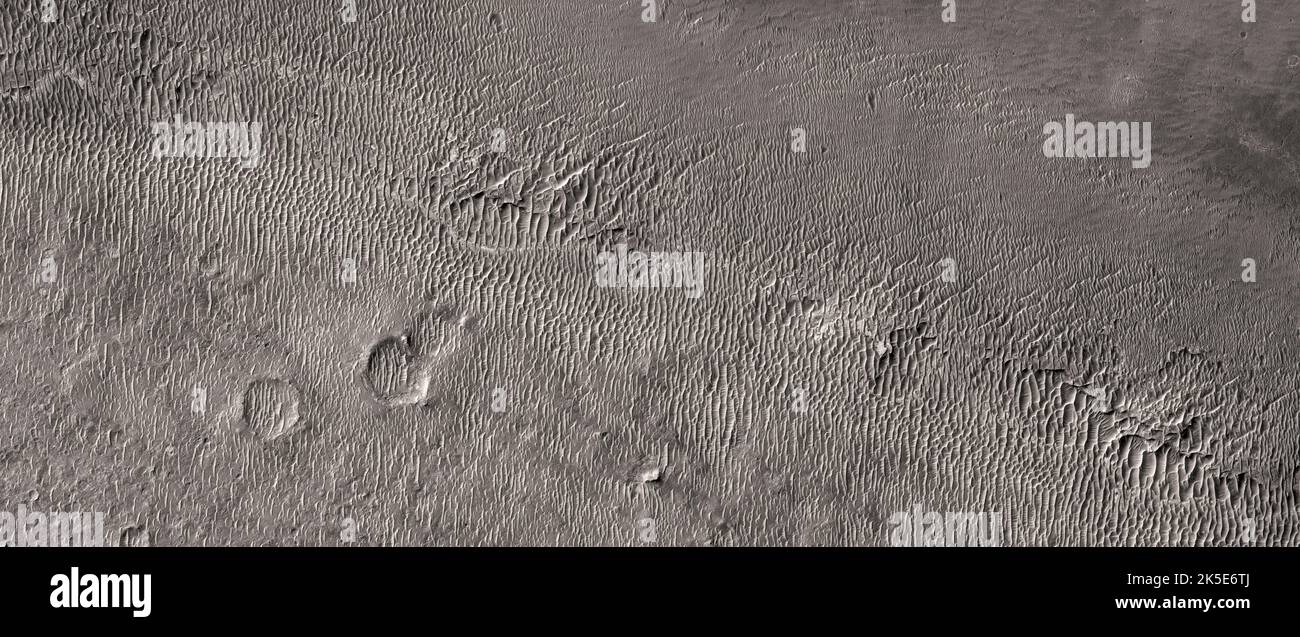
Martian landscape. This HiRISE image was taken of Miyamoto Crater in southwest Meridiani, an area near the equator of Mars. Aeolian processes are active here, which are visible in dunes and ripples, most likely made of basaltic sand. The bedrock contains clay minerals (phyllosilicates) that form in the presence of water. These have been detected in higher concentrations in other areas of Mars such as Mawrth Vallis and Nili Fossae. Image is less than 5 km (3 mi) across. A unique optimised version of NASA imagery. Credit: NASA/JPL/UArizona

RMID:Image ID:2K5E6TJ
Image details
Contributor:
J Marshall - Tribaleye Images / Alamy Stock PhotoImage ID:
2K5E6TJFile size:
126.3 MB (11.2 MB Compressed download)Releases:
Model - no | Property - noDo I need a release?Dimensions:
10240 x 4310 px | 86.7 x 36.5 cm | 34.1 x 14.4 inches | 300dpiDate taken:
6 September 2022Location:
Mars, Meridiani, Miyamoto CraterPhotographer:
NASA / digitaleye