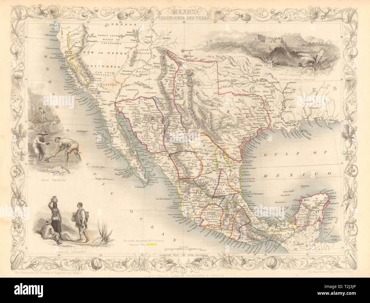
MEXICO CALIFORNIA TEXAS. Gold rush district. TX Republic. RAPKIN/TALLIS 1851 map

Image details
Contributor:
Antiqua Print Gallery / Alamy Stock PhotoImage ID:
T2J3JPFile size:
36.8 MB (1.9 MB Compressed download)Releases:
Model - no | Property - noDo I need a release?Dimensions:
4141 x 3105 px | 35.1 x 26.3 cm | 13.8 x 10.4 inches | 300dpiDate taken:
1851Location:
North AmericaMore information:
This image could have imperfections as it’s either historical or reportage.
Mexico, California & Texas. Artist/engraver/cartographer: Map drawn and engraved by J. Rapkin; vignette illustrations drawn by H Warren & engraved by J Rogers. Published by John Tallis & Co. Provenance: "Tallis's Illustrated Atlas and Modern History of the World, Geographical, Political, Commercial and Statistical", edited by R Montgomery Martin Esq., published by John Tallis and Company, London & New York. Type: Antique engraved map by J Rapkin, published by John Tallis. Original outline hand colour, decorative border, and attractive inset vignette views. The map indicates the gold country of the California gold rush which had started 2 years earlier. The key indicates that "the newly discovered Gold districts coloured thus" [yellow]. Texas is shown with borders close to those it had claimed during its brief history as an independent state, which had concluded in 1845, when it became a state of the United States. "Pueblo de los Angeles" and "Port San Francisco" are marked. Shows territories of native American Indian tribes. Vignettes: Gold washing; Mexican peasantry; Ruins at Uxmal, Yucatan.