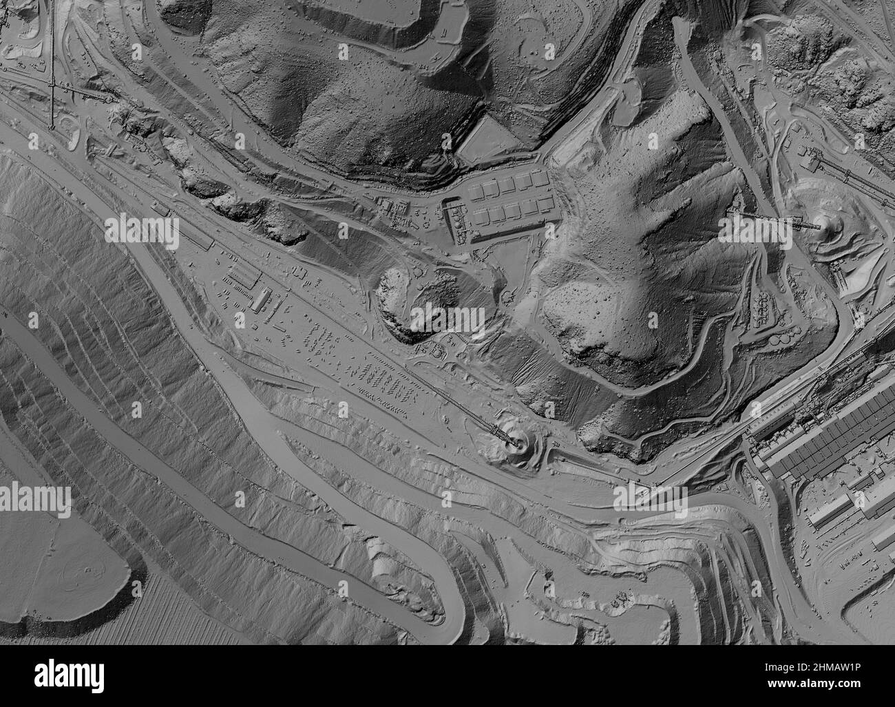
Model of a mine elevation. GIS product made after processing aerial pictures taken from a drone. It shows excavation site with steep rock walls
RFID:Image ID:2HMAW1P
Image details
Contributor:
Ungrim / Alamy Stock PhotoImage ID:
2HMAW1PFile size:
30.5 MB (2.4 MB Compressed download)Releases:
Model - no | Property - noDo I need a release?Dimensions:
3848 x 2774 px | 32.6 x 23.5 cm | 12.8 x 9.2 inches | 300dpiDate taken:
10 February 2022Location:
Earth