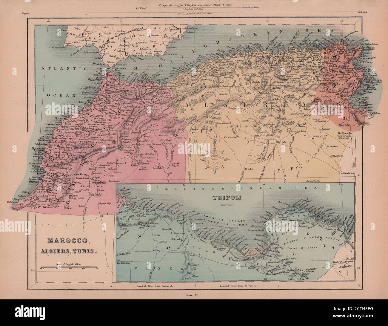
Morocco, Algeria, Tunisia & Libya. North Africa. HUGHES 1876 old antique map
RFID:Image ID:2CTNEEG
Image details
Contributor:
Antiqua Print Gallery / Alamy Stock PhotoImage ID:
2CTNEEGFile size:
33.9 MB (1.7 MB Compressed download)Releases:
Model - no | Property - noDo I need a release?Dimensions:
3920 x 3020 px | 33.2 x 25.6 cm | 13.1 x 10.1 inches | 300dpiDate taken:
1876Location:
North AfricaMore information:
This image could have imperfections as it’s either historical or reportage.
Marocco, Algiers, Tunis. Tripoli. Artist/engraver/cartographer: William Hughes. Provenance: "The Modern Atlas of The Earth" By William Hughes, F.R.G.S., Published by Frederick Warne and Co., London. Type: Antique hand coloured engraved map.