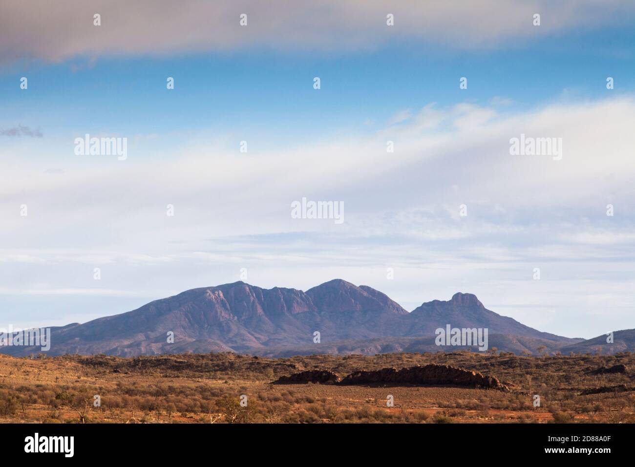
Mt Sonder / Rwetyepme (1380m), Tjoritja / West Macdonnell National Park, Northern Territory
RFID:Image ID:2D88A0F
Image details
Contributor:
steve waters / Alamy Stock PhotoImage ID:
2D88A0FFile size:
60.2 MB (2 MB Compressed download)Releases:
Model - no | Property - noDo I need a release?Dimensions:
5616 x 3744 px | 47.5 x 31.7 cm | 18.7 x 12.5 inches | 300dpiDate taken:
5 August 2020Location:
West Macdonnell Ranges, Northern Territory, AustraliaMore information:
The 223km Larapinta Trail follows the rocky ranges and spinifex plains of Tjoritja / West Macdonnell National Park from Alice Springs to Mt Sonder, the 4th highest mountain in the Northern Territory.