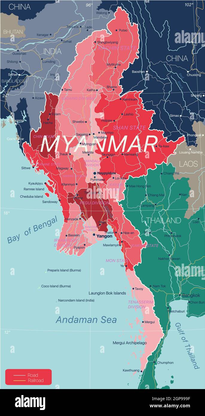
Myanmar country detailed editable map with regions cities and towns, roads and railways, geographic sites. Vector EPS-10 file
RFID:Image ID:2GP999F
Image details
Contributor:
Panther Media / Alamy Stock PhotoImage ID:
2GP999FFile size:
96.6 MB (1.8 MB Compressed download)Releases:
Model - no | Property - noDo I need a release?Dimensions:
4220 x 8000 px | 35.7 x 67.7 cm | 14.1 x 26.7 inches | 300dpiDate taken:
4 February 2021