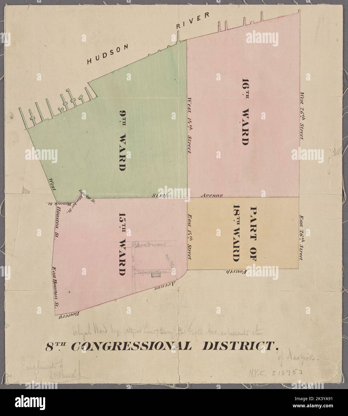
New York City, 8th Congressional District Cartographic. Maps. 1875. Lionel Pincus and Princess Firyal Map Division. Manhattan (New York, N.Y.), New York (N.Y.), Manhattan (New York, N.Y.) , Administrative and political divisions
RMID:Image ID:2K3YA91
Image details
Contributor:
Ny/piemags / Alamy Stock PhotoImage ID:
2K3YA91File size:
63.8 MB (2 MB Compressed download)Releases:
Model - no | Property - noDo I need a release?Dimensions:
4470 x 4990 px | 37.8 x 42.2 cm | 14.9 x 16.6 inches | 300dpiMore information:
This image is a public domain image, which means either that copyright has expired in the image or the copyright holder has waived their copyright. Alamy charges you a fee for access to the high resolution copy of the image.
This image could have imperfections as it’s either historical or reportage.