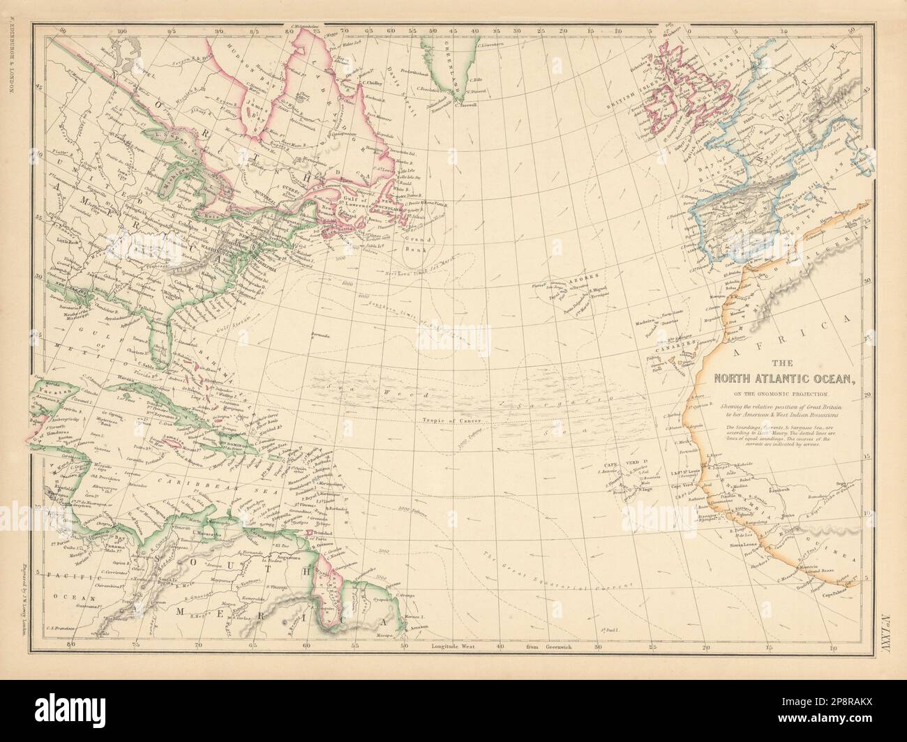
North Atlantic Ocean showing Gulf Stream, currents & Sargasso Sea LOWRY 1859 map

RFID:Image ID:2P8RAKX
Image details
Contributor:
Antiqua Print Gallery / Alamy Stock PhotoImage ID:
2P8RAKXFile size:
158.4 MB (7.6 MB Compressed download)Releases:
Model - no | Property - noDo I need a release?Dimensions:
8593 x 6443 px | 72.8 x 54.6 cm | 28.6 x 21.5 inches | 300dpiDate taken:
1859Location:
AtlanticMore information:
This image could have imperfections as it’s either historical or reportage.
The North Atlantic Ocean on the Gnomonic Projection [Showing the relative position of Great Britain to her American and West Indian Possessions]. Artist/engraver/cartographer: Joseph Wilson Lowry. Provenance: "The Imperial Atlas of Modern Geography", under the supervision of W.G. Blackie PhD. Blackie and Son, Paternoster Row E.C. Glasgow and Edinburgh. Type: Antique engraved atlas map with original hand colour/color.