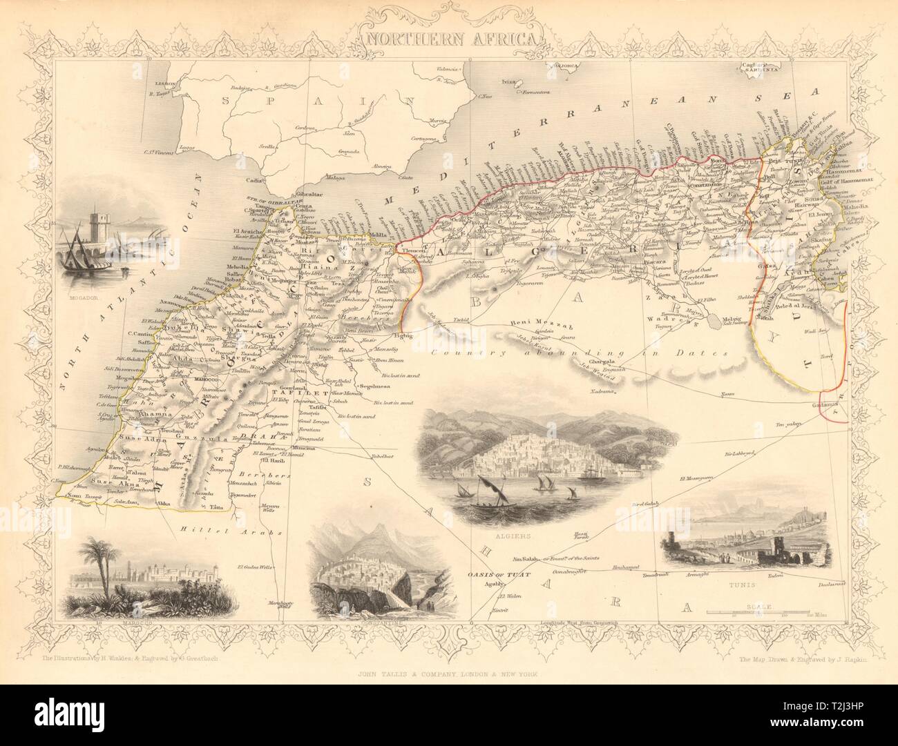
NORTHERN AFRICA. Morocco Tunisia Algeria. Caravan routes. RAPKIN/TALLIS 1851 map

Image details
Contributor:
Antiqua Print Gallery / Alamy Stock PhotoImage ID:
T2J3HPFile size:
35.3 MB (1.6 MB Compressed download)Releases:
Model - no | Property - noDo I need a release?Dimensions:
4021 x 3068 px | 34 x 26 cm | 13.4 x 10.2 inches | 300dpiDate taken:
1851Location:
AfricaMore information:
This image could have imperfections as it’s either historical or reportage.
Northern Africa. Artist/engraver/cartographer: Map drawn and engraved by J. Rapkin; vignette illustrations drawn by H Winkles & engraved by G Greatbach. Published by John Tallis & Co. Provenance: "Tallis's Illustrated Atlas and Modern History of the World, Geographical, Political, Commercial and Statistical", edited by R Montgomery Martin Esq., published by John Tallis and Company, London & New York. Type: Antique engraved map by J Rapkin, published by John Tallis. Original outline hand colour, decorative border, and attractive inset vignette views. Shows the north west Africa/Maghreb countries of Marocco (Morocco), Algeria & Tunis (Tunisia). Vignettes: Mogador [Essaouira]; Marocco [Marrakech]; Constantine; Algiers; Tunis. Shows camel caravan routes across the Sahara