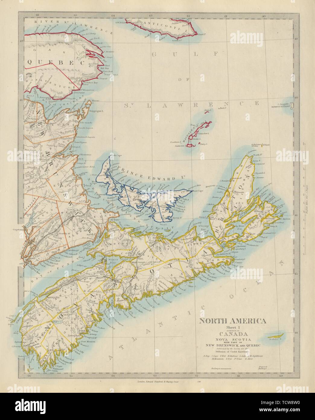
NOVA SCOTIA, New Brunswick Quebec Prince Edward's Island. Canada. SDUK 1874 map
RFID:Image ID:TCW8W0
Image details
Contributor:
Antiqua Print Gallery / Alamy Stock PhotoImage ID:
TCW8W0File size:
103.2 MB (4.5 MB Compressed download)Releases:
Model - no | Property - noDo I need a release?Dimensions:
5385 x 6701 px | 45.6 x 56.7 cm | 18 x 22.3 inches | 300dpiDate taken:
1874More information:
This image could have imperfections as it’s either historical or reportage.
NORTH AMERICA, SHEET I., NOVA SCOTIA WITH PART OF NEW BRUNSWICK AND QUEBEC. Artist/engraver/cartographer: Engraved by unattributed. Provenance: "The Atlas of Modern Geography. Constructed under the superintendance of the Society for the Diffusion of Useful Knowledge", London, Edward Stanford, Charing Cross [SDUK Atlas]. Type: Antique steel engraved map with original outline hand colouring.