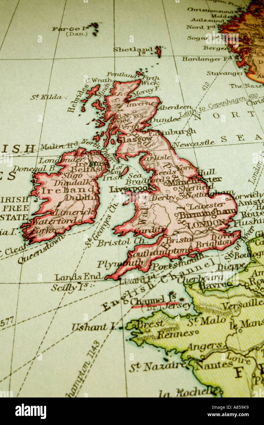
Old map of Great Britain
RFID:Image ID:A859K9
Image details
Contributor:
Aspix / Alamy Stock PhotoImage ID:
A859K9File size:
54 MB (2.3 MB Compressed download)Releases:
Model - no | Property - noDo I need a release?Dimensions:
3543 x 5328 px | 30 x 45.1 cm | 11.8 x 17.8 inches | 300dpiDate taken:
2006Location:
London, EnglandMore information:
Macro of an old atlas map of British isles, with a bit of France. From an atlas published in 1912. Paper yellowing and slightly stained. Shows the British Isles, England, Scotland, Wales and Ireland with a bit of France and Norway too