OS #103 Teeside, North Pennines & Durham Coalfield. Middlesborough 1882 map
Image details
Contributor:
Antiqua Print Gallery / Alamy Stock PhotoImage ID:
2T19E7YFile size:
261.2 MB (22.8 MB Compressed download)Releases:
Model - no | Property - noDo I need a release?Dimensions:
11508 x 7934 px | 97.4 x 67.2 cm | 38.4 x 26.4 inches | 300dpiDate taken:
1882Location:
Durham & YorkshireMore information:
This image could have imperfections as it’s either historical or reportage.
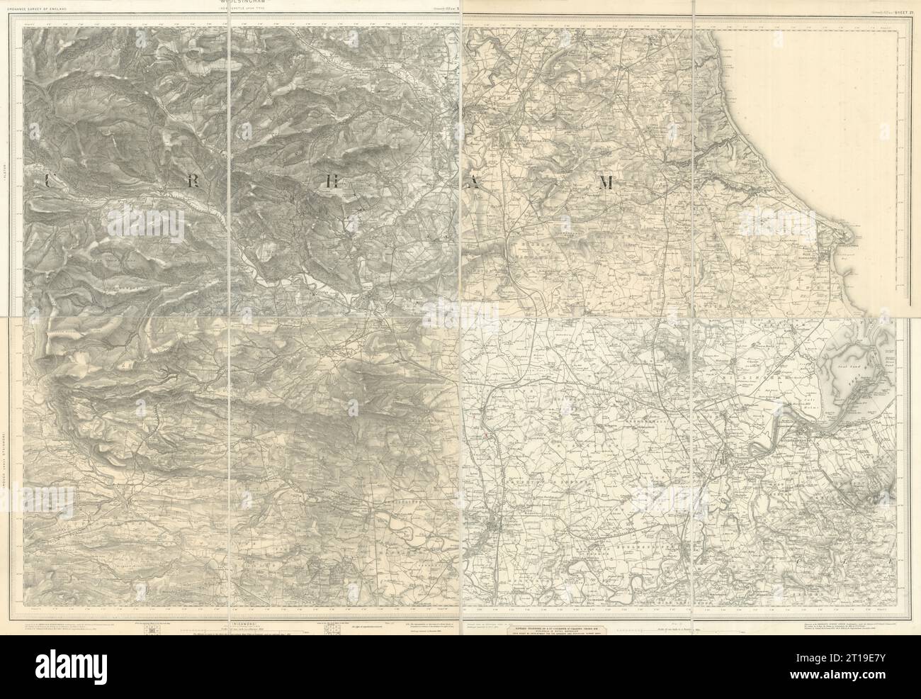
Ordnance Survey sheet 103 [Durham, Bishop Auckland, Wolsingham, Hartlepool, Sedgefield, Easington, Hart, Barnard Castle, Staindrop, Manfield, Brignall, Darlington, Stockton-upon-Tees, Middlesborough - Tees Lowlands, Durham Magnesian Limestone Plateau, Tyne and Wear Lowlands, Durham Coalfield Pennine Fringe, Pennine Dales Fringe, Tees Lowlands, Yorkshire]. Artist/engraver/cartographer: Engraved at the Ordnance Survey Office, Southampton. Outline by W. Newnam/E. May. Writing by J. Grandison. Hills by D. Law/ W.T. Wright. Published by Sir Henry James. . Provenance: Original Ordnance Survey one-inch per mile series. Contains public sector information licensed under the Open Government Licence v3.0. Crown copyright Ordnance Survey. Type: Antique folding survey map, dissected and laid down on linen. The genesis of the Ordnance Survey's original one-inch per mile survey occurred in 1783 when the Royal Societies of Paris and London agreed to connect their two great cities by the use of triangulation to settle the dispute of their relative positions. This triangulation, completed by 1790, together with the outbreak of war with France in 1793, acted as a catalyst for the surveying of England. The survey began in Kent and by the end of the Napoleonic Wars in 1815 most of southern England had been mapped. By 1844, publication of the Old Series, one inch to one mile, was complete for the whole of Great Britain south of Preston and Hull. In spite of concerns about the cost of the survey, work continued until by 1870 the whole of England and Wales had been mapped.