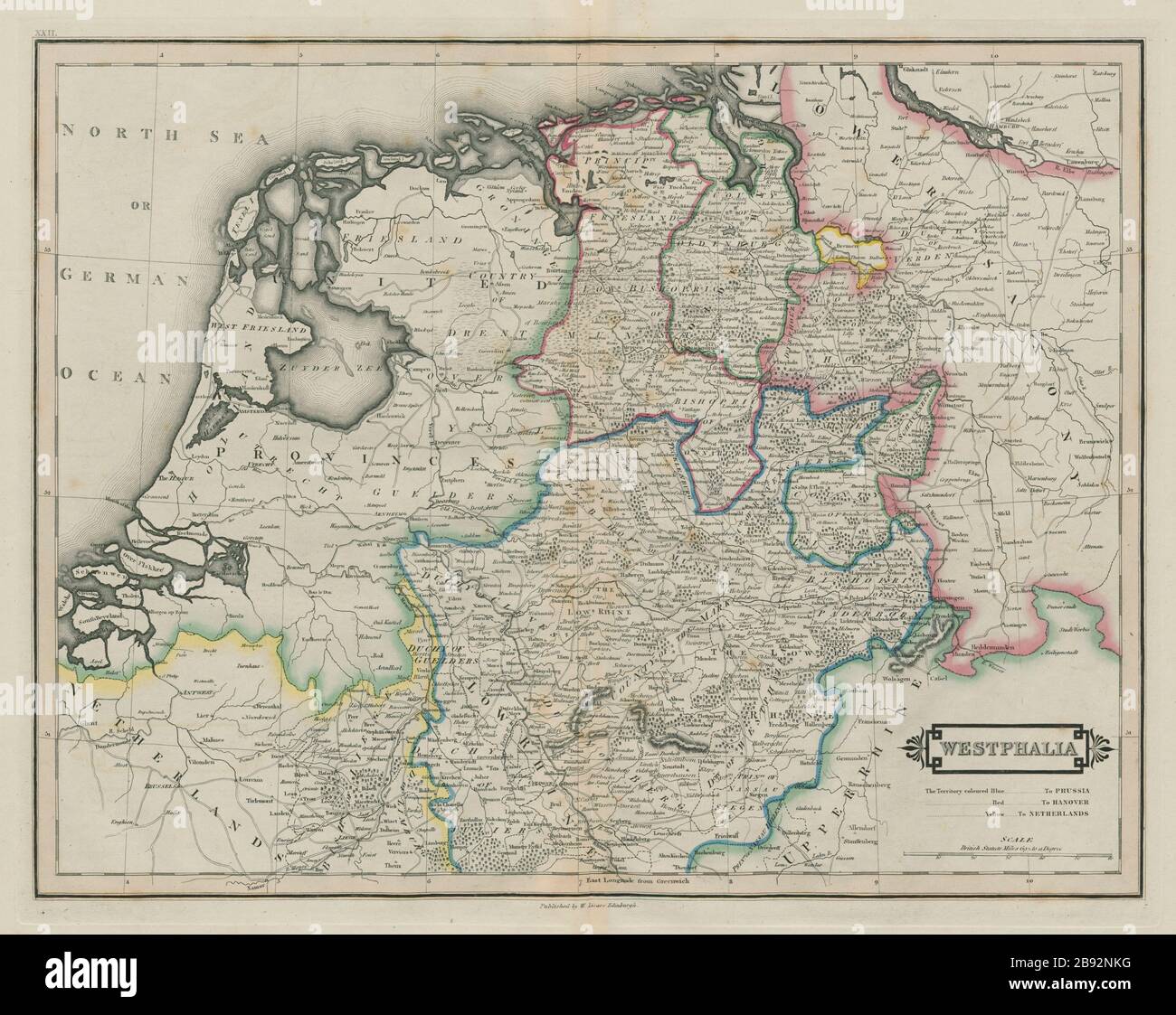
Parts of Lower Saxony & North Rhine Westphalia. Germany. LIZARS 1842 old map

RFID:Image ID:2B92NKG
Image details
Contributor:
Antiqua Print Gallery / Alamy Stock PhotoImage ID:
2B92NKGFile size:
87.9 MB (4.4 MB Compressed download)Releases:
Model - no | Property - noDo I need a release?Dimensions:
6215 x 4943 px | 52.6 x 41.9 cm | 20.7 x 16.5 inches | 300dpiDate taken:
1842Location:
GermanyMore information:
This image could have imperfections as it’s either historical or reportage.
Westphalia. Artist/engraver/cartographer: William Home Lizars. Provenance: "Lizars' Edinburgh Geographical General Atlas: containing maps of every Empire, State and Kingdom…", Edinburgh; W.H. Lizars, 3, St James' Square; S. Highley, 32 Fleet Street, London; and W. Curry, Jun., & Co., Dublin. Type: Antique 19th century atlas map with original hand colouring.