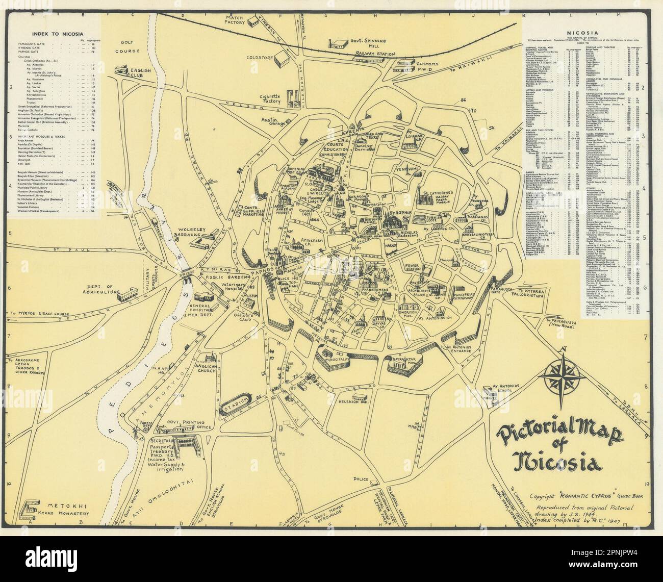
Pictorial map of Nicosia & environs. Vintage town city plan. Cyprus. SABRY 1948

RFID:Image ID:2PNJPW4
Image details
Contributor:
Antiqua Print Gallery / Alamy Stock PhotoImage ID:
2PNJPW4File size:
70.7 MB (4.1 MB Compressed download)Releases:
Model - no | Property - noDo I need a release?Dimensions:
5528 x 4471 px | 46.8 x 37.9 cm | 18.4 x 14.9 inches | 300dpiDate taken:
1948Location:
CyprusMore information:
This image could have imperfections as it’s either historical or reportage.
Pictorial Map of Nicosia. Artist/engraver/cartographer: Copyright Romantic Cyprus guidebook. Reproduced from original pictorial drawing by John Sabry 1944. Index completed by R.C. 1947. Provenance: "Romantic Cyprus" Printed by Mark & Moody, Published by Kevork Keshishian. Third edition. Type: Vintage city plan.