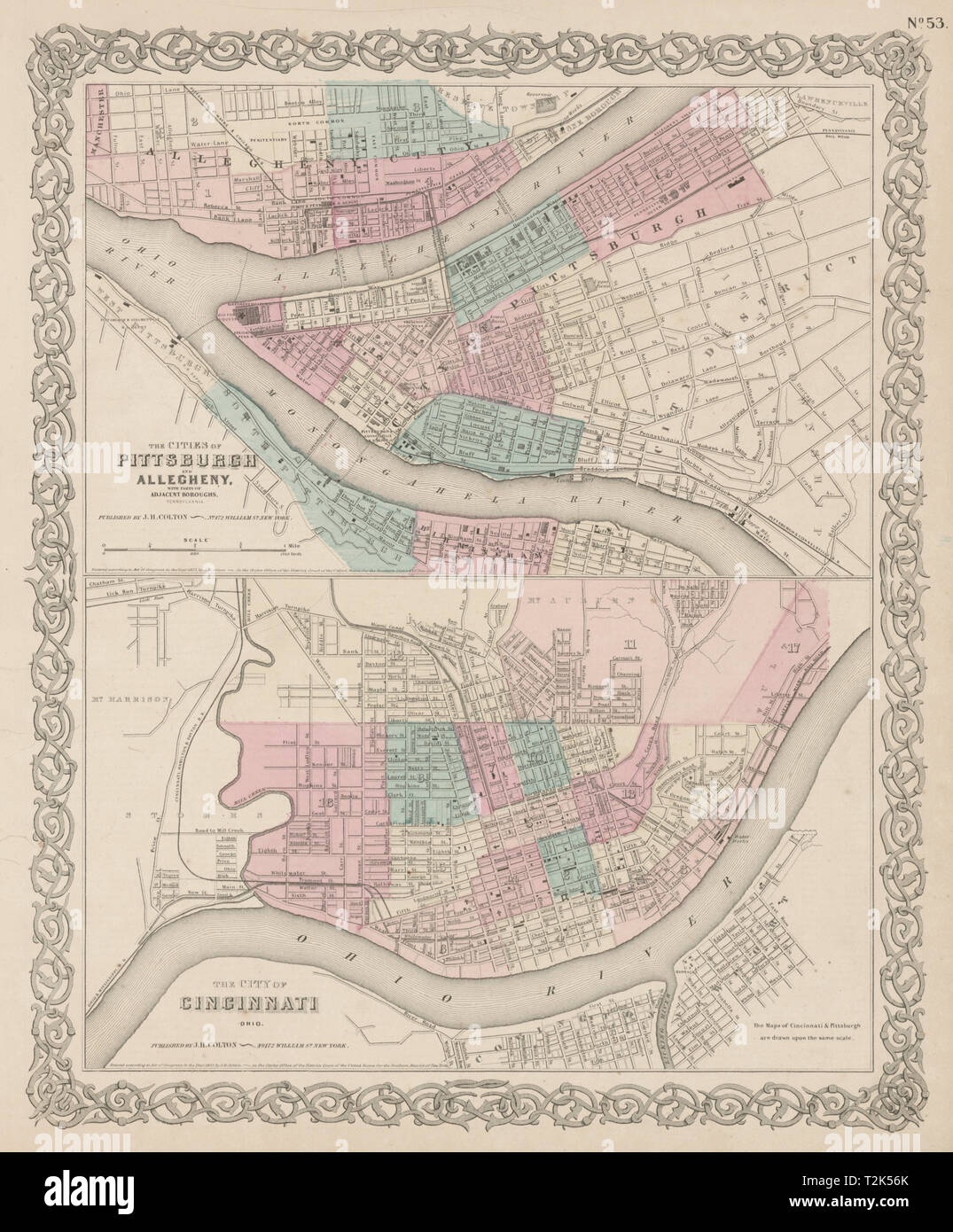
Pittsburgh/Allegheny, Pennsylvania. Cincinnati, Ohio city plans COLTON 1863 map

RFID:Image ID:T2K56K
Image details
Contributor:
Antiqua Print Gallery / Alamy Stock PhotoImage ID:
T2K56KFile size:
57.7 MB (3.4 MB Compressed download)Releases:
Model - no | Property - noDo I need a release?Dimensions:
4085 x 4939 px | 34.6 x 41.8 cm | 13.6 x 16.5 inches | 300dpiDate taken:
1863Location:
OhioMore information:
This image could have imperfections as it’s either historical or reportage.
The Cities of Pittsburgh and Allegheny with parts of adjacent boroughs, Pennsylvania, and the City of Cincinnati, Ohio. Artist/engraver/cartographer: Joseph Hutchins Colton. Provenance: "Colton's General Atlas", published by J.H. Colton, 172 William Street, New York. Type: Antique engraved hand coloured atlas map.