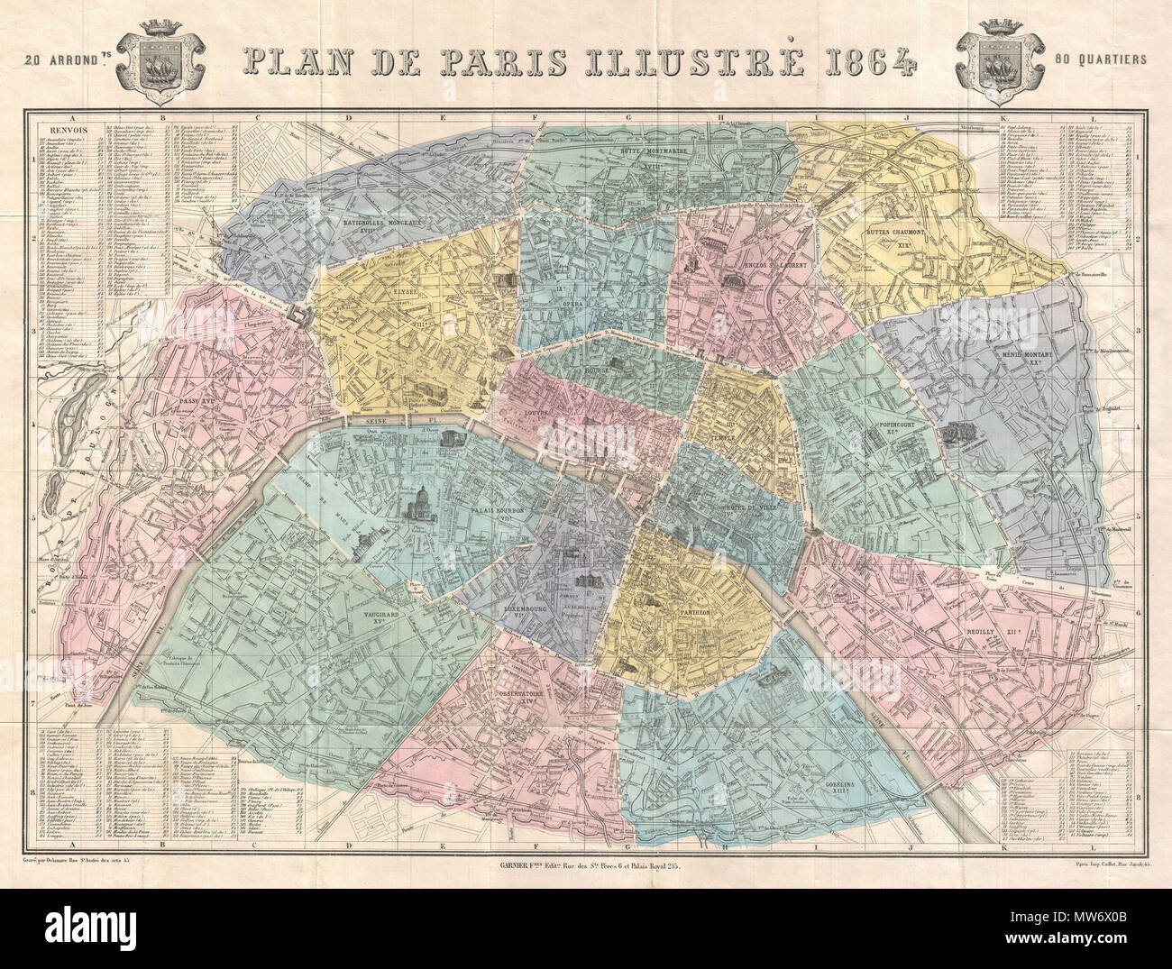
. Plan de Paris Illustre 1864. English: An extremely attractive map of Paris, France issued in 1864 by the Garnier Freres. Covers the old walled city of Paris and the immediate vicinity. Important buildings are shown in profile. All major streets are identified. Color coded according to arrondissements. The four corners are occupied by a street index. The Coat of Arms of Paris appears in the upper right and left quadrants. . 1864 (dated) 9 1864 Garnier Map of Pairs, France w-Monuments - Geographicus - Paris-garnier-1864

RMID:Image ID:MW6X0B
Image details
Contributor:
The Picture Art Collection / Alamy Stock PhotoImage ID:
MW6X0BFile size:
14.3 MB (1.6 MB Compressed download)Releases:
Model - no | Property - noDo I need a release?Dimensions:
2568 x 1947 px | 21.7 x 16.5 cm | 8.6 x 6.5 inches | 300dpiMore information:
This image is a public domain image, which means either that copyright has expired in the image or the copyright holder has waived their copyright. Alamy charges you a fee for access to the high resolution copy of the image.
This image could have imperfections as it’s either historical or reportage.