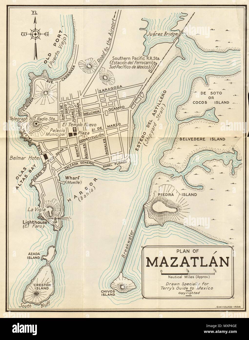
Plan of MAZATLAN, Mexico. Mapa de la ciudad. City/town plan 1935 old

RFID:Image ID:MXP4GE
Image details
Contributor:
Antiqua Print Gallery / Alamy Stock PhotoImage ID:
MXP4GEFile size:
83.3 MB (2.6 MB Compressed download)Releases:
Model - no | Property - noDo I need a release?Dimensions:
4782 x 6092 px | 40.5 x 51.6 cm | 15.9 x 20.3 inches | 300dpiDate taken:
1935Location:
MexicoMore information:
This image could have imperfections as it’s either historical or reportage.
Artist/engraver/cartographer: T. Philip Terry. Provenance: Terry's guide to Mexico, the new standard guidebook to the Mexican Republic with chapters on the railways, airways, automobile roads and the ocean routes to Mexico by T. Philip Terry published by Houghton Mifflin Company MA USA. Type: Vintage map.