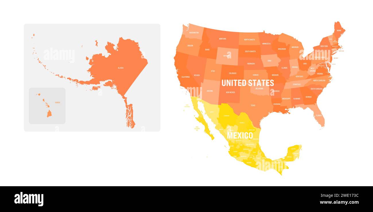
Political map of United States and Mexico with administrative divisions. Colorful map with countries and states name labels. Vector illustration
Image details
More information:
Political map of United States and Mexico with administrative divisions. Colorful map with countries and states name labels. Vector illustration
Search stock photos by tags
