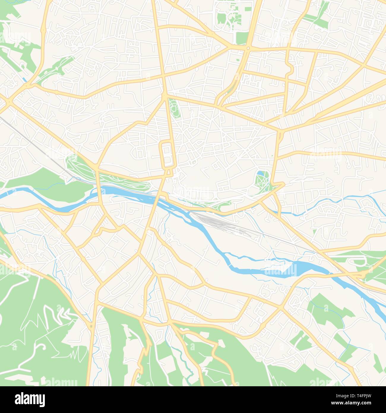
Printable map of Pau, France with main and secondary roads and larger railways. This map is carefully designed for routing and placing individual data
RFID:Image ID:T4FPJW
Image details
Contributor:
nestign / Alamy Stock VectorImage ID:
T4FPJWReleases:
Model - no | Property - noDo I need a release?Date created:
20 March 2019More information:
Printable map of Pau, France with main and secondary roads and larger railways. This map is carefully designed for routing and placing individual data.