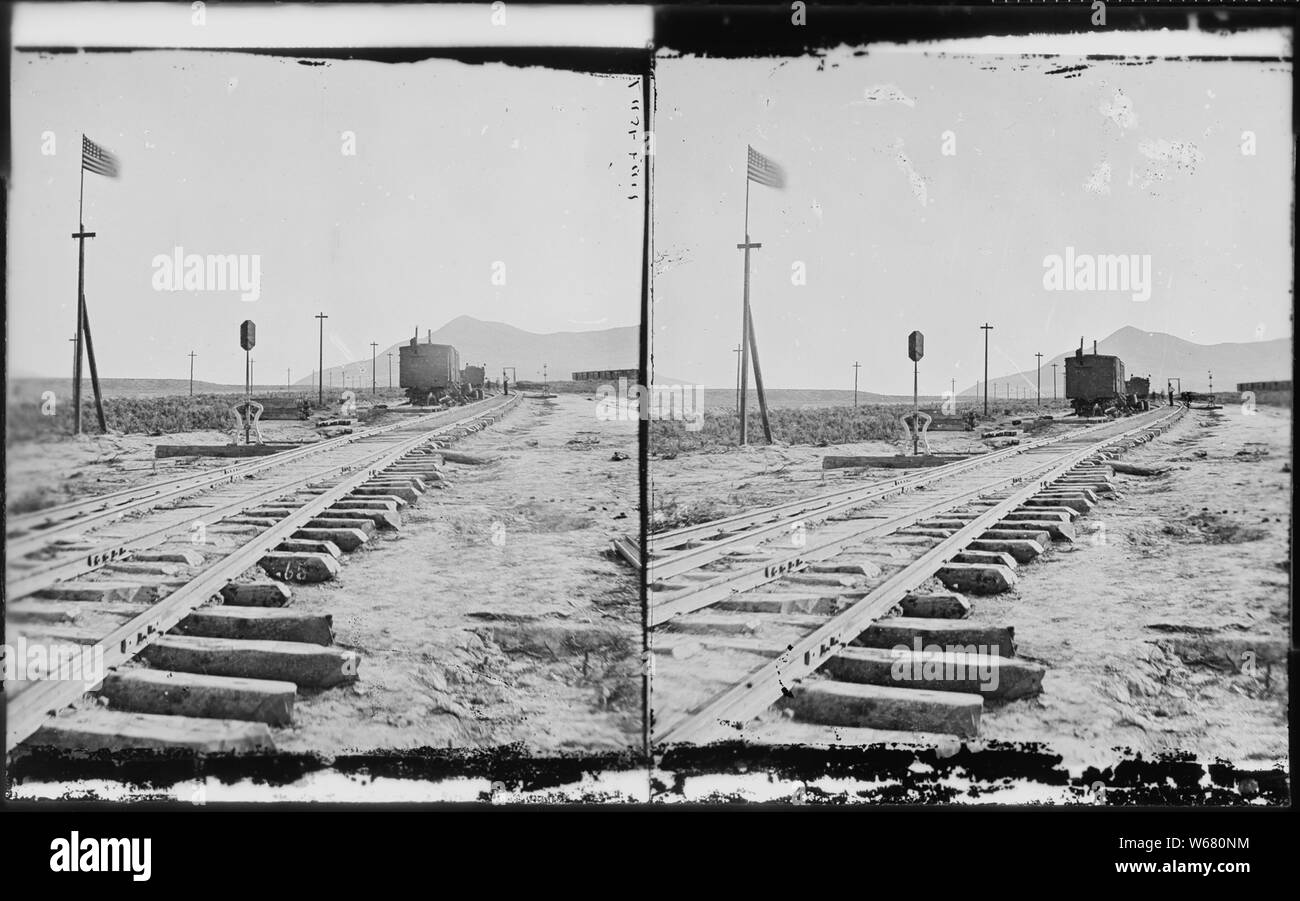
Promontory Point, the spot where the track layers met and laid the last rail. Elevation 4,905 feet. Box Elder County, Utah.
RMID:Image ID:W680NM
Image details
Contributor:
Alpha Stock / Alamy Stock PhotoImage ID:
W680NMFile size:
57.2 MB (1.4 MB Compressed download)Releases:
Model - no | Property - noDo I need a release?Dimensions:
5659 x 3533 px | 47.9 x 29.9 cm | 18.9 x 11.8 inches | 300dpiMore information:
This image is a public domain image, which means either that copyright has expired in the image or the copyright holder has waived their copyright. Alamy charges you a fee for access to the high resolution copy of the image.
This image could have imperfections as it’s either historical or reportage.