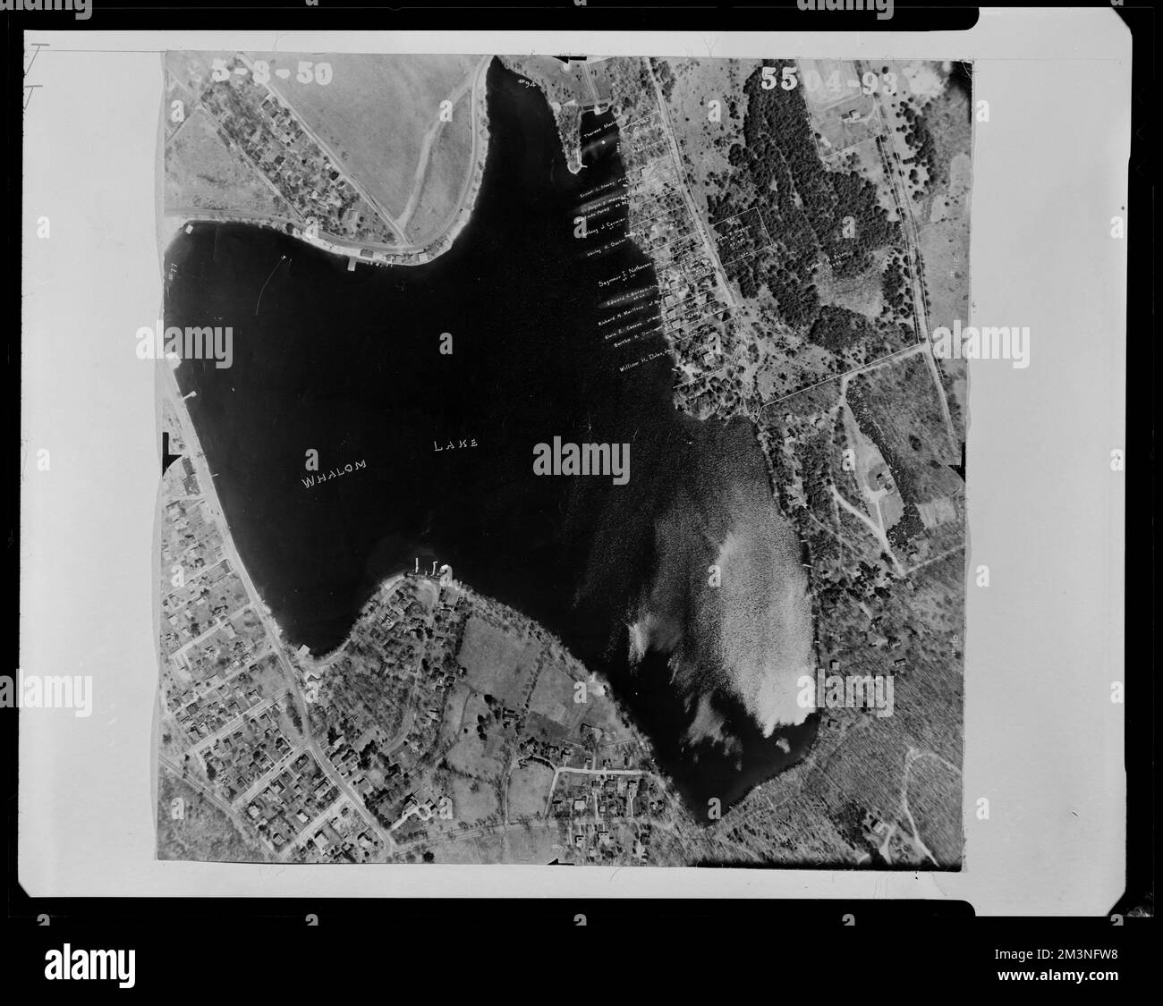
Properties near Whalom Lake and Laurel Lane , Land subdivision, Lakes & ponds. Lunenburg Massachusetts 1950 Aerial Mapping
RMID:Image ID:2M3NFW8
Image details
Contributor:
piemags/DCM / Alamy Stock PhotoImage ID:
2M3NFW8File size:
109.9 MB (3.7 MB Compressed download)Releases:
Model - no | Property - noDo I need a release?Dimensions:
6944 x 5530 px | 58.8 x 46.8 cm | 23.1 x 18.4 inches | 300dpiMore information:
This image is a public domain image, which means either that copyright has expired in the image or the copyright holder has waived their copyright. Alamy charges you a fee for access to the high resolution copy of the image.
This image could have imperfections as it’s either historical or reportage.