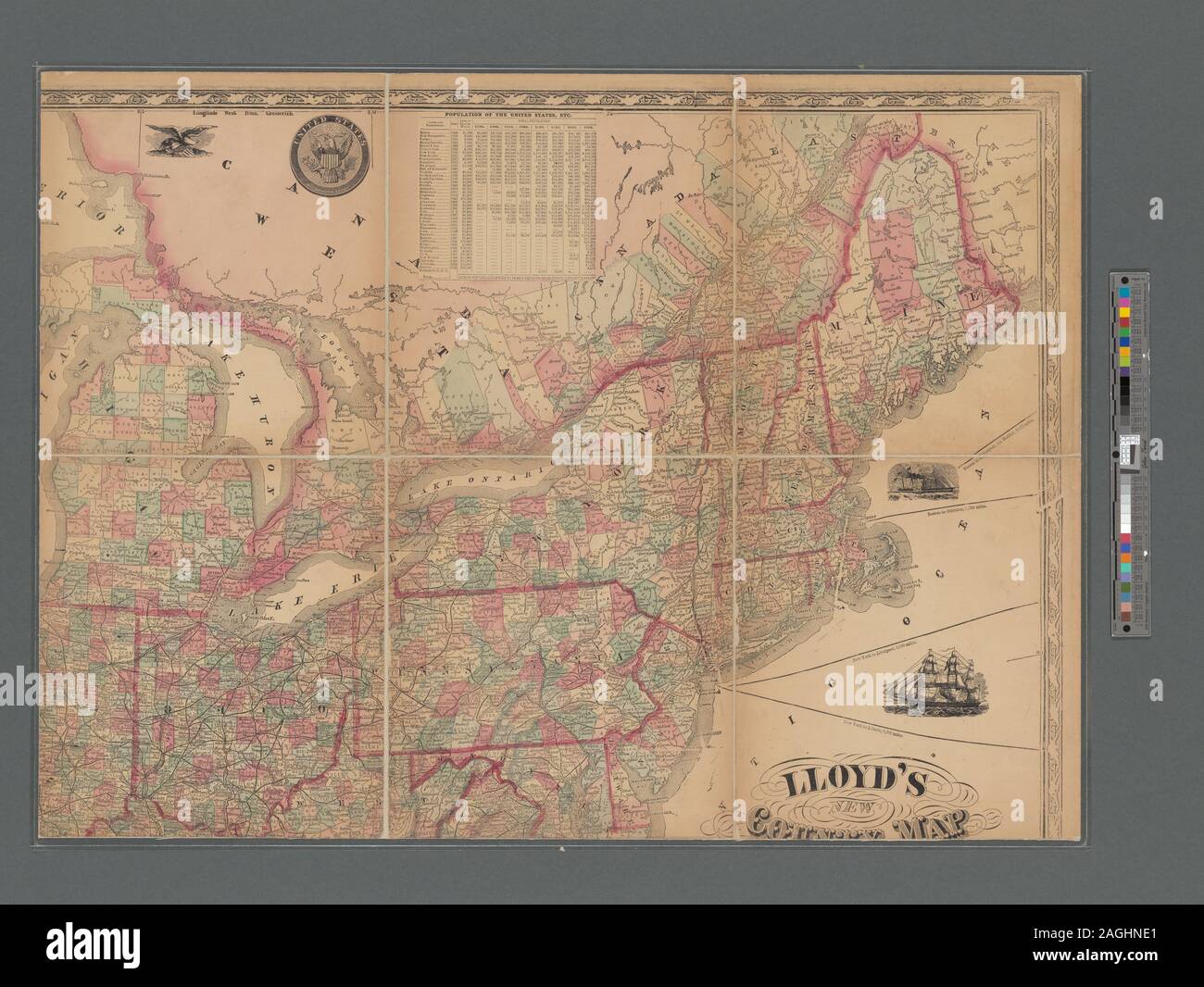
Relief shown by hachures. For Canada, covers southern Quebec and Ontario. Description derived from published bibliography. Includes table of population and inset extensions for southern Florida and California, Oregon and the territories. Mapping the Nation (NEH grant, 2015-2018); Lloyd's new county map of the United States and Canadas showing battle fields, railroads, &c., compiled from the latest government surveys & other reliable & official sources

RMID:Image ID:2AGHNE1
Image details
Contributor:
Bravo Images / Alamy Stock PhotoImage ID:
2AGHNE1File size:
57.2 MB (3.5 MB Compressed download)Releases:
Model - no | Property - noDo I need a release?Dimensions:
5159 x 3876 px | 43.7 x 32.8 cm | 17.2 x 12.9 inches | 300dpiDate taken:
26 February 2016More information:
This image is a public domain image, which means either that copyright has expired in the image or the copyright holder has waived their copyright. Alamy charges you a fee for access to the high resolution copy of the image.
This image could have imperfections as it’s either historical or reportage.