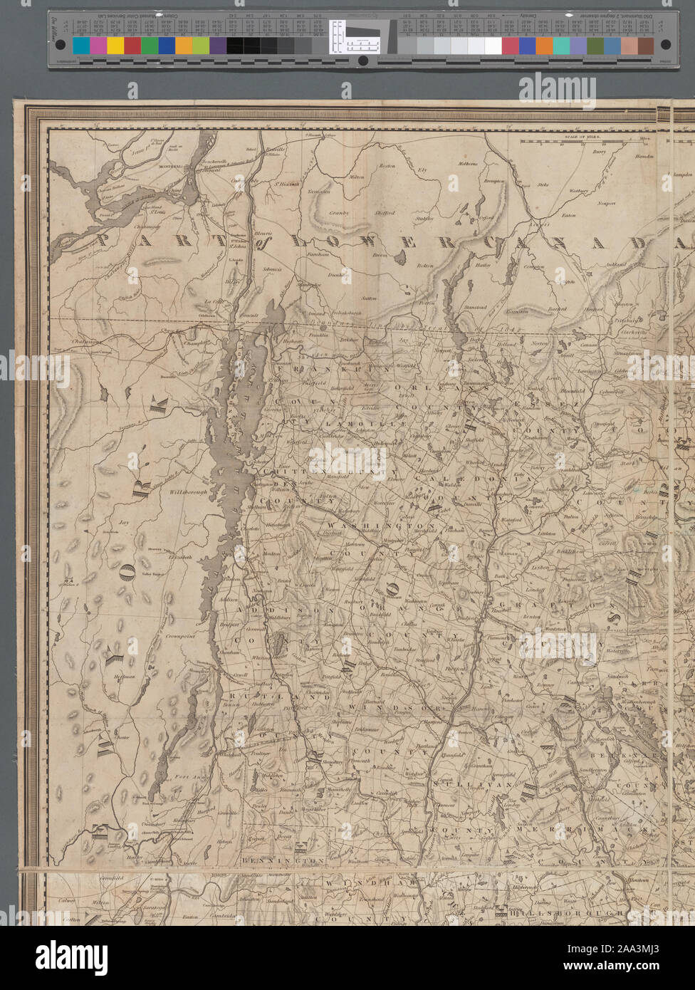
Relief shown by hachures. Inset: Northern & eastern part of Maine and part of Lower Canada and New Brunswick. With corrections in 1849. 38 x 30 cm. Mapping the Nation (NEH grant, 2015-2018); A map of the New England states
RMID:Image ID:2AA3MJ3
Image details
Contributor:
Bravo Images / Alamy Stock PhotoImage ID:
2AA3MJ3File size:
57.2 MB (3.6 MB Compressed download)Releases:
Model - no | Property - noDo I need a release?Dimensions:
3876 x 5159 px | 32.8 x 43.7 cm | 12.9 x 17.2 inches | 300dpiDate taken:
27 May 2016More information:
This image is a public domain image, which means either that copyright has expired in the image or the copyright holder has waived their copyright. Alamy charges you a fee for access to the high resolution copy of the image.
This image could have imperfections as it’s either historical or reportage.