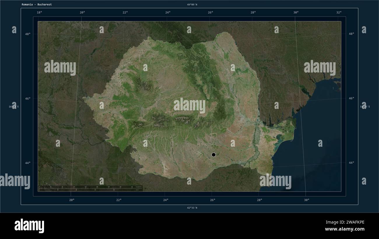
Romania highlighted on a high resolution satellite map map with the country's capital point, cartographic grid, distance scale and map border coordina
RFID:Image ID:2WAFKPE
Image details
Contributor:
zelwanka / Alamy Stock PhotoImage ID:
2WAFKPEFile size:
148.3 MB (5.1 MB Compressed download)Releases:
Model - no | Property - noDo I need a release?Dimensions:
9600 x 5400 px | 81.3 x 45.7 cm | 32 x 18 inches | 300dpiLocation:
RomaniaMore information:
Romania highlighted on a high resolution satellite map map with the country's capital point, cartographic grid, distance scale and map border coordinates