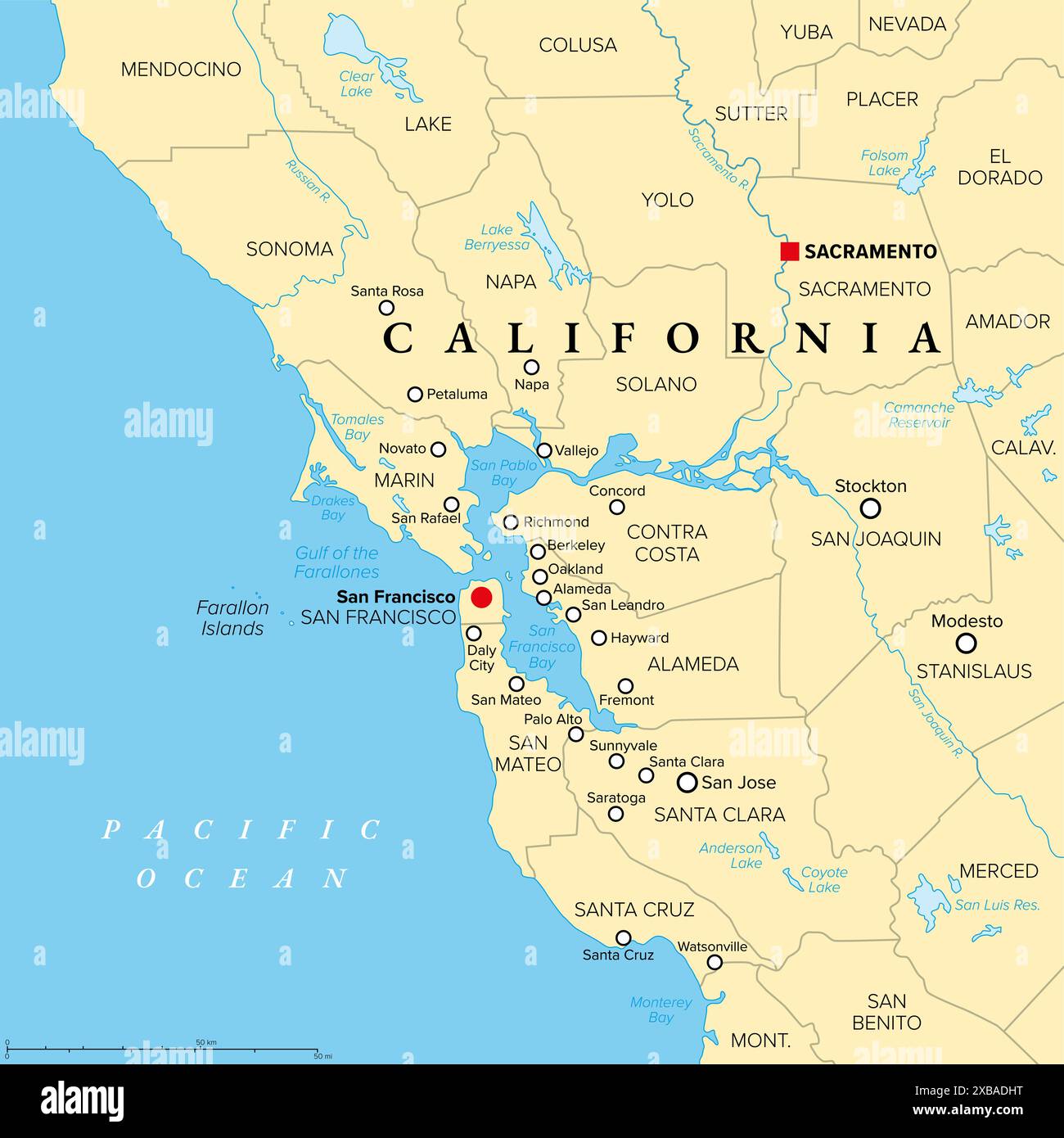
San Francisco Bay Area, a region of the U.S. state California, political map with counties and largest cities.
RFID:Image ID:2XBADHT
Image details
Contributor:
Peter Hermes Furian / Alamy Stock PhotoImage ID:
2XBADHTFile size:
103 MB (1.4 MB Compressed download)Releases:
Model - no | Property - noDo I need a release?Dimensions:
6000 x 6000 px | 50.8 x 50.8 cm | 20 x 20 inches | 300dpiDate taken:
11 June 2024Location:
San FranciscoMore information:
San Francisco Bay Area, a region of the U.S. state California, political map with counties and largest cities. An area that surrounds and include the San Francisco Bay, which is a large tidal estuary.